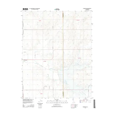
2015 Map of Farmington
USGS Topo · Published 2015About this map
Farmington serves as the central hub of this agricultural landscape in eastern San Joaquin County. The area is defined by a complex network of natural waterways and managed irrigation, with Littlejohns Cr and Rock Creek flowing westward toward the Central Valley. Modern land use is clearly visible through the extensive North Side Canal and the presence of Farmington Lake, which reflects the region's long-standing dependence on water management for its orchards and fields.
Find a feature on this map
33 named features on this map. Tap any name to fly to it.
Don’t see what you’re looking for? This feature index may not catch every label — zoom into the map to look around manually.
Map Details
Editions of this 2015 Farmington Map
This is the sole edition of this map. No revisions or reprints were ever made.
Other maps of this area

1889 · Jackson
USGS Topo · 1:125,000

1892 · Jackson
USGS Topo · 1:125,000

1894 · Lodi
USGS Topo · 1:125,000

1897 · Jackson
USGS Topo · 1:125,000

1902 · Jackson
USGS Topo · 1:125,000

1908 · Linden
USGS Topo · 1:31,680

1914 · Avena
USGS Topo · 1:31,680

1915 · Oakdale
USGS Topo · 1:31,680

1915 · Trigo
USGS Topo · 1:31,680

1915 · Peters
USGS Topo · 1:31,680