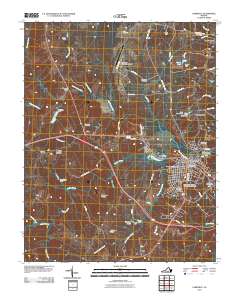
2010 Map of Farmville
USGS Topo · Published 2010About this map
The Appomattox River winds through this central Virginia landscape, anchoring the prominent town of Farmville and the campus of Longwood University. The town's layout is meticulously detailed, showing the concentration of civic life around the Farmville Post Office and the surrounding residential blocks. To the west, the rural character of the county is defined by small settlements like Tuggle and Reeds, while the northern reach is marked by the crossroads at Raines Tavern.
Find a feature on this map
67 named features on this map. Tap any name to fly to it.
Don’t see what you’re looking for? This feature index may not catch every label — zoom into the map to look around manually.
Map Details
Editions of this 2010 Farmville Map
This is the sole edition of this map. No revisions or reprints were ever made.
Other maps of this area

1891 · Farmville
USGS Topo · 1:125,000

1892 · Appomattox
USGS Topo · 1:125,000

1893 · Farmville
USGS Topo · 1:125,000

1947 · Roanoke
USGS Topo · 1:250,000

1956 · Charlotte Court House
USGS Topo · 1:62,500

1958 · Farmville
USGS Topo · 1:62,500

1958 · Keysville
USGS Topo · 1:62,500

1958 · Pamplin City
USGS Topo · 1:62,500

1959 · Roanoke
USGS Topo · 1:250,000

1963 · Roanoke
USGS Topo · 1:250,000