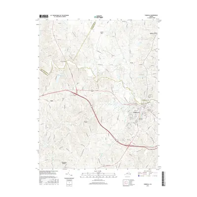
2016 Map of Farmville
USGS Topo · Published 2016About this map
The Appomattox River carves through this Central Virginia landscape, serving as the border between Cumberland and Prince Edward counties and defining the northern edge of the historic town of Farmville. This 2016 survey highlights the significant academic footprint of the region, anchored by the Longwood University campus in the heart of town and the storied community of Hampden-Sydney to the south. The transportation corridor follows the winding path of modern highways and old routes like Old Plank Road, while the aviation history of the area is noted at the Farmville Regional Airport and the Big Buffalo Airstrip. Genealogists will find a wealth of burial sites across the quadrangle, from the large Westview Cemetery and the Confederate Cemetery to smaller family and community grounds like Friedman Cemetery and Coleman Cemetery.
Find a feature on this map
141 named features on this map. Tap any name to fly to it.
Don’t see what you’re looking for? This feature index may not catch every label — zoom into the map to look around manually.
Map Details
Editions of this 2016 Farmville Map
This is the sole edition of this map. No revisions or reprints were ever made.
Other maps of this area

1891 · Farmville
USGS Topo · 1:125,000

1892 · Appomattox
USGS Topo · 1:125,000

1893 · Farmville
USGS Topo · 1:125,000

1947 · Roanoke
USGS Topo · 1:250,000

1956 · Charlotte Court House
USGS Topo · 1:62,500

1958 · Farmville
USGS Topo · 1:62,500

1958 · Keysville
USGS Topo · 1:62,500

1958 · Pamplin City
USGS Topo · 1:62,500

1959 · Roanoke
USGS Topo · 1:250,000

1963 · Roanoke
USGS Topo · 1:250,000