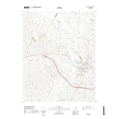
2019 Map of Farmville
USGS Topo · Published 2019About this map
Farmville serves as the focal point of this modern survey, where the Appomattox River winds past the historic Prince Edward Courthouse. The town’s heritage is meticulously recorded through its diverse burial grounds, ranging from the Westview Cem and the Independent Order of Odd Fellows Cem to the Confederate Cem on the town's northern edge.
Find a feature on this map
149 named features on this map. Tap any name to fly to it.
Don’t see what you’re looking for? This feature index may not catch every label — zoom into the map to look around manually.
Map Details
Editions of this 2019 Farmville Map
This is the sole edition of this map. No revisions or reprints were ever made.
Other maps of this area

1891 · Farmville
USGS Topo · 1:125,000

1892 · Appomattox
USGS Topo · 1:125,000

1893 · Farmville
USGS Topo · 1:125,000

1947 · Roanoke
USGS Topo · 1:250,000

1956 · Charlotte Court House
USGS Topo · 1:62,500

1958 · Farmville
USGS Topo · 1:62,500

1958 · Keysville
USGS Topo · 1:62,500

1958 · Pamplin City
USGS Topo · 1:62,500

1959 · Roanoke
USGS Topo · 1:250,000

1963 · Roanoke
USGS Topo · 1:250,000