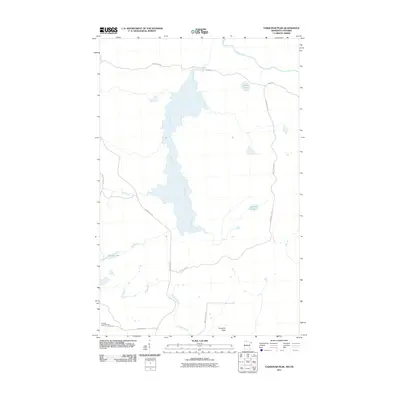
2011 Map of Farquhar Peak
USGS Topo · Published 2011About this map
Farquhar Peak rises above a wilderness landscape defined by the drainage of the Swamp River and the international boundary waters of the Pigeon River in this 2011 survey. The area is marked by its network of forest roads and trails, including the Arrowhead Trl and Jackson Lake Rd, which provide access to the interior's secluded water bodies such as Prout Lake, Jackson Lake, and Stevens Lake. The topographic detail illustrates a terrain woven with small waterways like Irish Creek and Carlson Creek that feed into the larger river systems.
Find a feature on this map
17 named features on this map. Tap any name to fly to it.
Don’t see what you’re looking for? This feature index may not catch every label — zoom into the map to look around manually.
Map Details
Editions of this 2011 Farquhar Peak Map
This is the sole edition of this map. No revisions or reprints were ever made.
Other maps of this area

1954 · Two Harbors
USGS Topo · 1:250,000

1957 · Two Harbors
USGS Topo · 1:250,000

1957 · Quetico
USGS Topo · 1:250,000

1958 · Two Harbors
USGS Topo · 1:250,000

1958 · Hancock
USGS Topo · 1:250,000

1959 · Mineral Center
USGS Topo · 1:24,000

1959 · Pine Lake East
USGS Topo · 1:24,000

1959 · Tom Lake
USGS Topo · 1:24,000

1959 · Fort William
USGS Topo · 1:250,000

1960 · Hancock
USGS Topo · 1:250,000