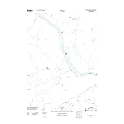
2013 Map of Farrandsville
USGS Topo · Published 2013About this map
The West Br Susquehanna River carves a deep valley through this portion of Clinton County, serving as the central artery for the small riverside settlements of Farrandsville, Riverview, Ferney, and East Ferney. The landscape is defined by its dramatic relief, where countless small tributaries like Whisky Run, McCloskey Run, and Saltsman Run have eroded the plateau into a complex network of hollows. These secluded drainages, such as Tinsmith Hollow, Bear Wallow Hollow, and Buckhorn Hollow, often preserve the names of early local activities and natural landmarks like Round Top.
Find a feature on this map
74 named features on this map. Tap any name to fly to it.
Don’t see what you’re looking for? This feature index may not catch every label — zoom into the map to look around manually.
Map Details
Editions of this 2013 Farrandsville Map
This is the sole edition of this map. No revisions or reprints were ever made.
Other maps of this area

1921 · Howard
USGS Topo · 1:48,000

1921 · Lock Haven
USGS Topo · 1:62,500

1923 · Howard
USGS Topo · 1:62,500

1923 · Lock Haven
USGS Topo · 1:62,500

1937 · Waterville
USGS Topo · 1:48,000

1943 · Hyner
USGS Topo · 1:62,500

1943 · Waterville
USGS Topo · 1:62,500

1944 · Lock Haven
USGS Topo · 1:62,500

1946 · Renovo East
USGS Topo · 1:62,500

1946 · Renovo East
USGS Topo · 1:24,000
Featured Places
- East Ferney, Colebrook Township
- Farrandsville, Colebrook Township
- Bald Eagle Township, PA
- Beech Creek Township, PA
- Grugan Township, PA