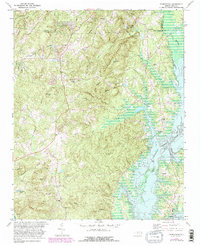
1978 Map of Farrington
USGS Topo · Published 1982About this map
The construction and filling of B Everett Jordan Lake dominates this landscape, showing a significant transformation of the New Hope River basin. While the rising waters submerged former bottomlands, established crossroads like Farrington and Bells remained as anchors for the local community. The terrain rises sharply away from the shoreline toward the prominent Edwards Mountain and the high ground of Big Woods, creating a complex network of drainage including Morgan Creek and Cub Creek.
Find a feature on this map
41 named features on this map. Tap any name to fly to it.
Don’t see what you’re looking for? This feature index may not catch every label — zoom into the map to look around manually.
Map Details
Editions of this 1978 Farrington Map
2 editions found
Other maps of this area

1943 · Durham South
USGS Topo · 1:62,500

1946 · Chapel Hill
USGS Topo · 1:24,000

1947 · Chapel Hill
USGS Topo · 1:31,680

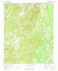
1951 · Farrington
USGS Topo · 1:24,000

1951 · Durham South
USGS Topo · 1:62,500

1953 · Raleigh
USGS Topo · 1:250,000

1954 · Raleigh
USGS Topo · 1:250,000

1968 · White Cross
USGS Topo · 1:24,000

1968 · Bynum
USGS Topo · 1:24,000

1969 · New Hope Dam
USGS Topo · 1:24,000