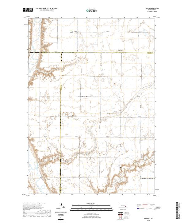
2021 Map of Farwell
USGS Topo · Published 2021This historical map portrays the area of Farwell in 2021, primarily covering Hanson County as well as portions of Sanborn County and Davison County. Featuring a scale of 1:24000, this map provides a highly detailed snapshot of the terrain, roads, buildings, counties, and historical landmarks in the Farwell region at the time. Published in 2021, it is the sole known edition of this map.
Map Details
Editions of this 2021 Farwell Map
This is the sole edition of this map. No revisions or reprints were ever made.
Historical Maps of Hanson Township Through Time
10 maps found
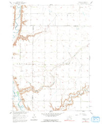
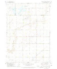
1957 Farwell
Hanson County, SD
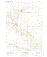
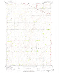
1957 Riverside
Hanson County, SD
1973 Epiphany
Hanson County, SD
1973 Ness Chain Lakes
Hanson County, SD
1973 Spencer SW
Hanson County, SD
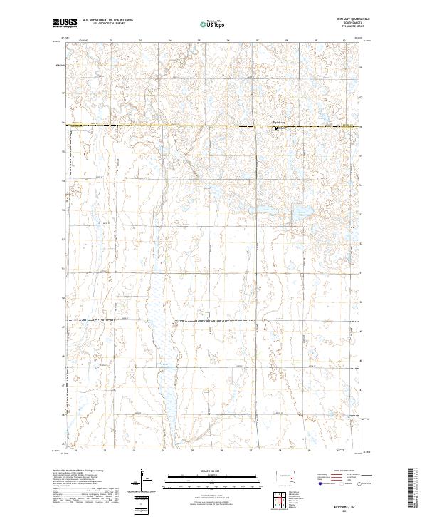
2021 Epiphany
Hanson County, SD
2021 Farwell
Hanson County, SD
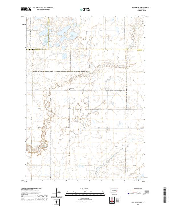
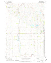
2021 Ness Chain Lakes
Hanson County, SD
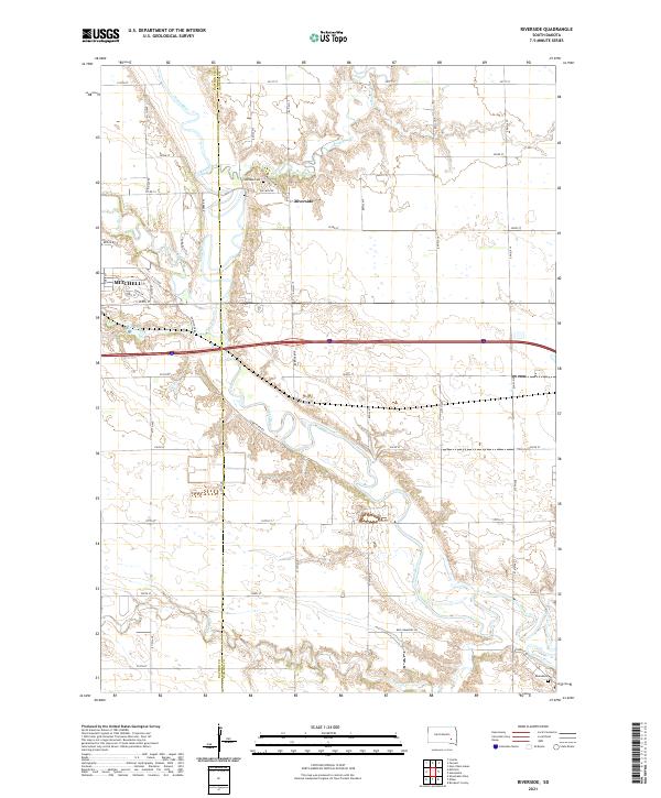
2021 Riverside
Hanson County, SD
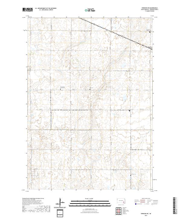
2021 Spencer SW
Hanson County, SD