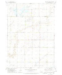
1957 Map of Farwell
USGS Topo · Published 1991About this map
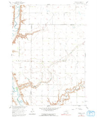
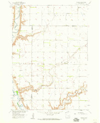
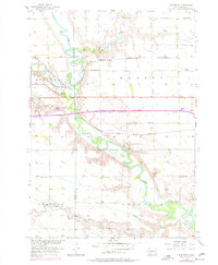
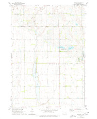
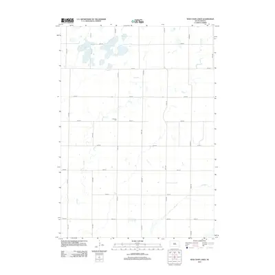
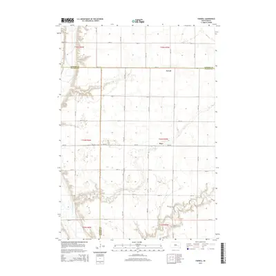
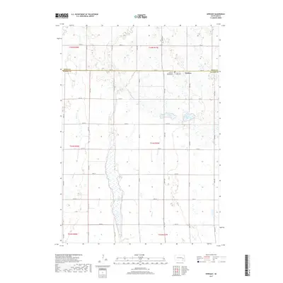
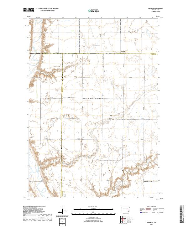
The James River and its deeply incised tributaries define the prairie landscape of this mid-century survey on the border of Hanson, Sanborn, and Davison counties. The settlement of Farwell serves as a focal point for the surrounding rural community, supported by local institutions such as Farwell Ch and Farwell Sch. The drainage patterns of Rock Creek and Dry Run have shaped the placement of farmsteads and transport routes, with the rugged draws contrasting against the flat upland townships of Butler, Ravenna, and Plano. Genealogists will find particular value in the location of the Rock Creek Cem and several outlying schools, including Plano Sch and Grant Sch, which reflect the distributed nature of the South Dakota school system during this era. A single Gravel Pit near the eastern edge provides the only indication of localized industry amidst a landscape dominated by agriculture.
Find a feature on this map
19 named features on this map. Tap any name to fly to it.
Don’t see what you’re looking for? This feature index may not catch every label — zoom into the map to look around manually.
Map Details
Editions of this 1957 Farwell Map
2 editions found
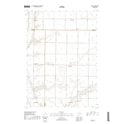
Historical Maps of Plano Through Time
25 maps found
1957 Farwell
Hanson County, SD
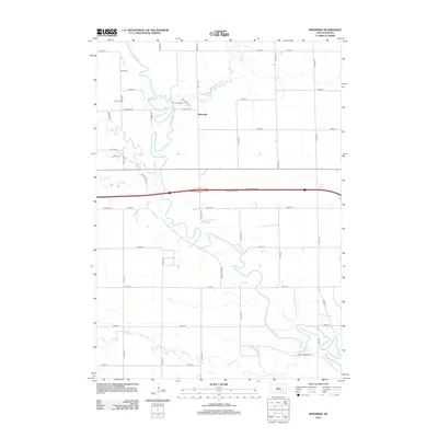
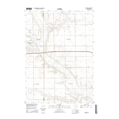
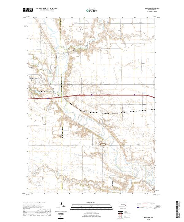
1957 Riverside
Hanson County, SD
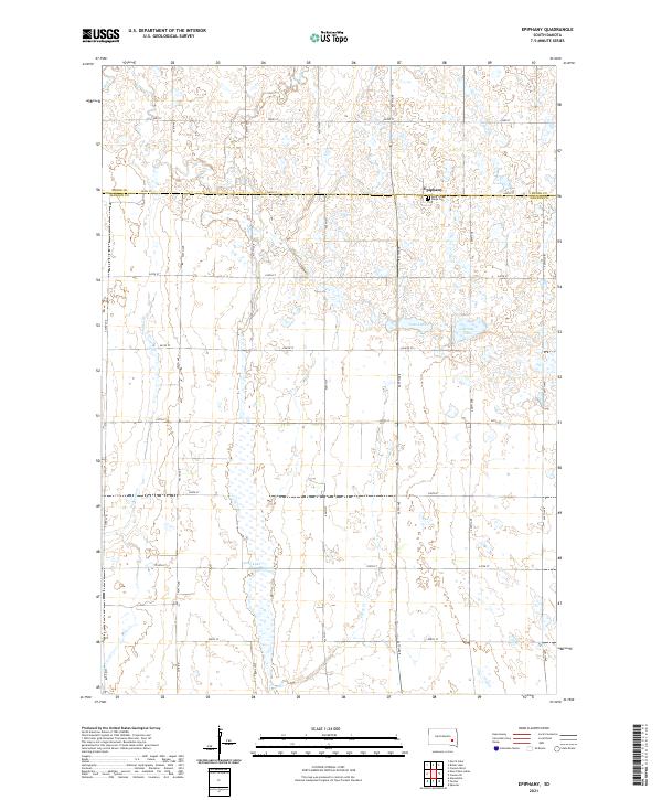
1973 Epiphany
Hanson County, SD
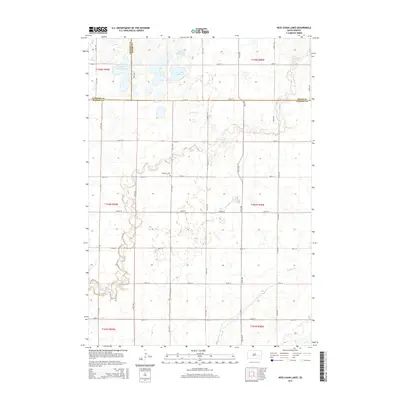
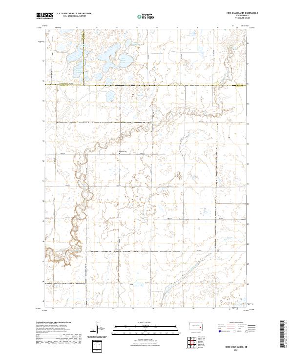
1973 Ness Chain Lakes
Hanson County, SD
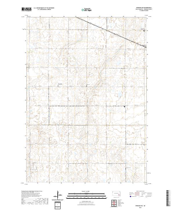
1973 Spencer SW
Hanson County, SD
2012 Epiphany
Hanson County, SD
2012 Farwell
Hanson County, SD
2012 Ness Chain Lakes
Hanson County, SD
2012 Riverside
Hanson County, SD
2012 Spencer SW
Hanson County, SD
2015 Epiphany
Hanson County, SD
2015 Farwell
Hanson County, SD
2015 Ness Chain Lakes
Hanson County, SD
2015 Riverside
Hanson County, SD
2015 Spencer SW
Hanson County, SD
2017 Epiphany
Hanson County, SD
2017 Farwell
Hanson County, SD
2017 Ness Chain Lakes
Hanson County, SD
2017 Riverside
Hanson County, SD
2017 Spencer SW
Hanson County, SD
2021 Epiphany
Hanson County, SD
2021 Farwell
Hanson County, SD
2021 Ness Chain Lakes
Hanson County, SD
2021 Riverside
Hanson County, SD
2021 Spencer SW
Hanson County, SD