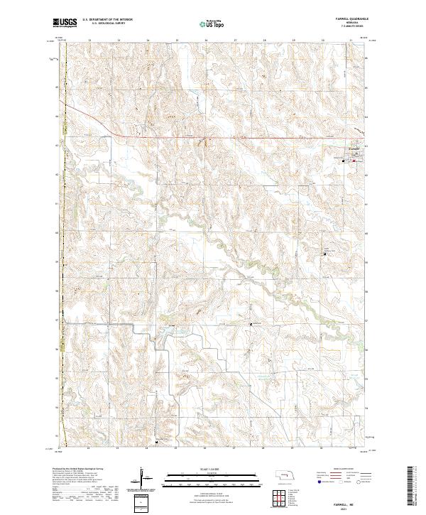
2021 Map of Farwell
USGS Topo · Published 2021About this map
The village of Farwell serves as the primary settlement in this section of Howard County, where the agricultural landscape is shaped by the drainages of Turkey Creek and Cow Cr. This modern survey reveals a countryside deeply connected to its heritage through its diverse denominational and community burial grounds, including the Danish Cem near town and Saint Anthony Cem to the south. Further out, the rural character is maintained by landmarks like Kelso Cem and Ebenezer Cem, while the local hydrology is managed through several catchment features such as the Farwell South Reservoir, Christensen Reservoir, and Krogh Reservoir. The grid of section roads, from Salem Rd to Yutan Rd, underscores the persistent land-use patterns of the Nebraska plains, where seasonal waterways like Dry Cr and Deer Cr carve through the open terrain.
Find a feature on this map
45 named features on this map. Tap any name to fly to it.
Don’t see what you’re looking for? This feature index may not catch every label — zoom into the map to look around manually.
Map Details
Editions of this 2021 Farwell Map
This is the sole edition of this map. No revisions or reprints were ever made.
Other maps of this area

1899 · Loup
USGS Topo · 1:125,000

1953 · Dannebrog
USGS Topo · 1:24,000

1953 · Cotesfield
USGS Topo · 1:24,000

1953 · Rockville
USGS Topo · 1:24,000

1953 · Boelus
USGS Topo · 1:24,000

1953 · Loup City SE
USGS Topo · 1:24,000

1953 · Farwell
USGS Topo · 1:24,000

1953 · Nysted
USGS Topo · 1:24,000

1953 · Ashton
USGS Topo · 1:24,000

1953 · Elba
USGS Topo · 1:24,000