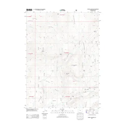
2013 Map of Farwell Mountain
USGS Topo · Published 2013About this map
Farwell Mountain and the high ridges of the Routt National Forest define this landscape within the Elk River watershed. The area is marked by a complex network of backcountry routes, including the Continental Divide National Scenic Trail and the Wyoming Trail, which traverse the high country between Dome Peak and the southern river valleys. Drainages such as King Solomon Creek and Silver City Creek feed into the Elk River system, while steep geological features like Hole-in-Wall Canyon and Box Canyon break the terrain. At lower elevations, named open spaces like Diamond Park, Hinman Park, and Boulder Park provide distinct clearings among the forested slopes. This 2013 survey provides a clear view of the modern trail system and hydrological patterns before any later 21st-century environmental shifts.
Find a feature on this map
54 named features on this map. Tap any name to fly to it.
Don’t see what you’re looking for? This feature index may not catch every label — zoom into the map to look around manually.
Map Details
Editions of this 2013 Farwell Mountain Map
This is the sole edition of this map. No revisions or reprints were ever made.
Other maps of this area

1911 · Hahns Peak
USGS Topo · 1:125,000

1913 · Hahns Peak
USGS Topo · 1:125,000

1954 · Craig
USGS Topo · 1:250,000

1955 · Davis Peak
USGS Topo · 1:24,000

1955 · Mount Zirkel
USGS Topo · 1:24,000

1955 · Mount Ethel
USGS Topo · 1:24,000

1955 · Mount Ethel
USGS Topo · 1:62,500

1956 · Pearl
USGS Topo · 1:62,500

1957 · Craig
USGS Topo · 1:250,000

1958 · Craig
USGS Topo · 1:250,000