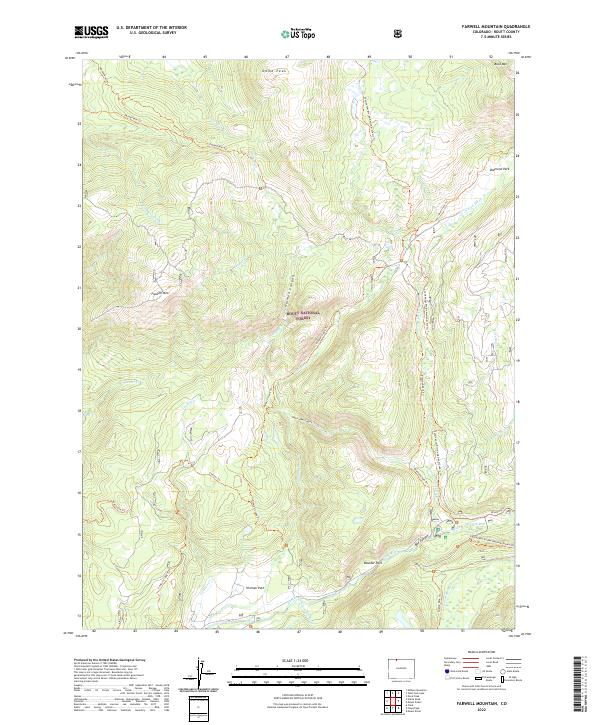
2022 Map of Farwell Mountain
USGS Topo · Published 2022About this map
Routt National Forest dominates this high-altitude landscape, where the Continental Divide National Scenic Trl skirts the eastern boundary. The map captures a rugged drainage system defined by the Elk River and its various tributaries, including the Middle Fork Elk River and S Fork Elk River. Distinctive peaks like Farwell Mtn and Dome Peak provide significant relief, while topographical features like Hinman Canyon and Box Canyon indicate a deeply carved watershed. Several "parks" or natural alpine clearings, such as Diamond Park, Hinman Park, and Boulder Park, suggest historic areas of interest for grazing or early transit. An extensive network of primitive paths, including the Wyoming Trl and Pearl Lake Trl, highlights the area's continued use for backcountry navigation through these protected Colorado highlands.
Find a feature on this map
43 named features on this map. Tap any name to fly to it.
Don’t see what you’re looking for? This feature index may not catch every label — zoom into the map to look around manually.
Map Details
Editions of this 2022 Farwell Mountain Map
This is the sole edition of this map. No revisions or reprints were ever made.
Other maps of this area

1911 · Hahns Peak
USGS Topo · 1:125,000

1913 · Hahns Peak
USGS Topo · 1:125,000

1954 · Craig
USGS Topo · 1:250,000

1955 · Davis Peak
USGS Topo · 1:24,000

1955 · Mount Zirkel
USGS Topo · 1:24,000

1955 · Mount Ethel
USGS Topo · 1:24,000

1955 · Mount Ethel
USGS Topo · 1:62,500

1956 · Pearl
USGS Topo · 1:62,500

1957 · Craig
USGS Topo · 1:250,000

1958 · Craig
USGS Topo · 1:250,000