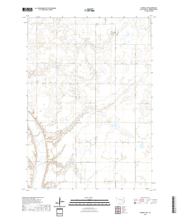
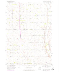
2021 Map of Farwell NW
USGS Topo · Published 2021This historical map portrays the area of Farwell NW in 2021, primarily covering Sanborn County. Featuring a scale of 1:24000, this map provides a highly detailed snapshot of the terrain, roads, buildings, counties, and historical landmarks in the Farwell NW region at the time. Published in 2021, it is the sole known edition of this map.
Find a feature on this map
28 named features on this map. Tap any name to fly to it.
Don’t see what you’re looking for? This feature index may not catch every label — zoom into the map to look around manually.
Map Details
Editions of this 2021 Farwell NW Map
This is the sole edition of this map. No revisions or reprints were ever made.
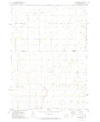
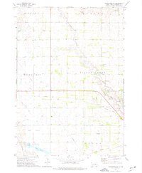
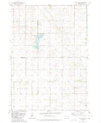
Historical Maps of Diana Township Through Time
14 maps found
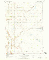
1957 Farwell NW
Sanborn County, SD
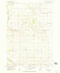
1957 Forestburg NE
Sanborn County, SD
1957 Letcher NE
Sanborn County, SD
1958 Forestburg NW
Sanborn County, SD
1971 Artesian NW
Sanborn County, SD
1973 Forestburg SW
Sanborn County, SD
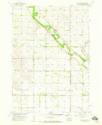
1979 Twin Lakes
Sanborn County, SD
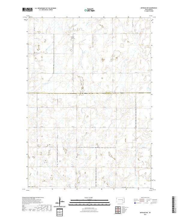
2021 Artesian NW
Sanborn County, SD
2021 Farwell NW
Sanborn County, SD
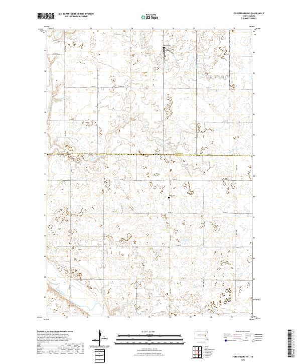
2021 Forestburg NE
Sanborn County, SD
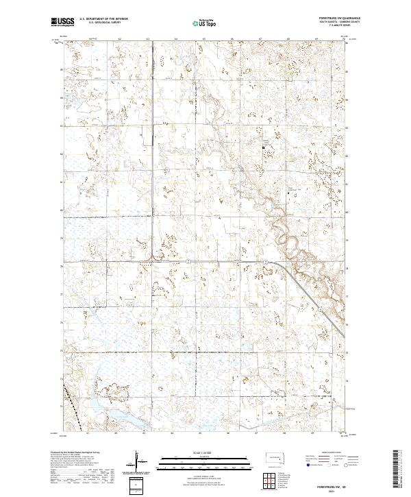
2021 Forestburg NW
Sanborn County, SD
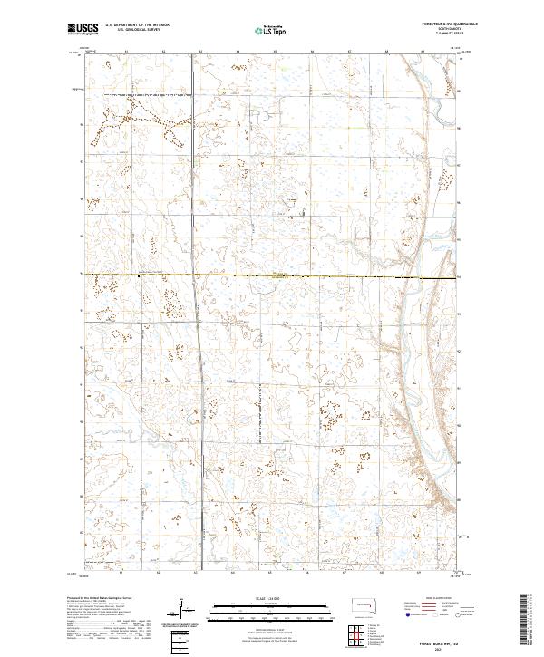
2021 Forestburg SW
Sanborn County, SD
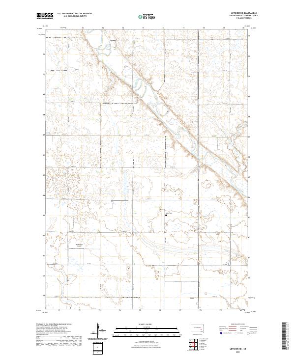
2021 Letcher NE
Sanborn County, SD
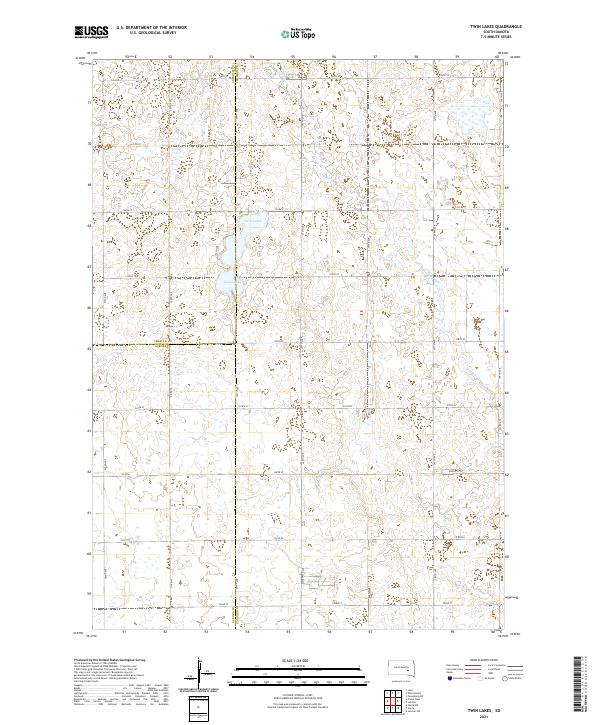
2021 Twin Lakes
Sanborn County, SD
Featured Locations
- Butler Township, SD
- Diana Township, SD
- Ravenna Township, SD
- Union Township, SD
- Upland Hutterite Colony, Butler Township