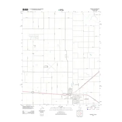
2012 Map of Farwell
USGS Topo · Published 2012About this map
Texico and Farwell straddle the boundary between New Mexico and Texas, forming a contiguous community at the heart of this High Plains landscape. The local economy is clearly defined by aviation and agriculture, with facilities like the Clovis Municipal Airport and Farwell Spraying Service Inc Airport serving the region. Large-scale agricultural operations including South Slope Dairy and Desperado Dairy are situated among a rigid grid of rural roads such as Co Road 15 and CR 12. The influence of the state line is visible in the street layout, where State Line Rd separates the jurisdictions. Genealogists will find the Texico Cem on the western side of the boundary, while the residential core of both towns features established corridors like Hereford Ave and Mildred Ave.
Find a feature on this map
62 named features on this map. Tap any name to fly to it.
Don’t see what you’re looking for? This feature index may not catch every label — zoom into the map to look around manually.
Map Details
Editions of this 2012 Farwell Map
This is the sole edition of this map. No revisions or reprints were ever made.
Other maps of this area

1954 · Clovis
USGS Topo · 1:250,000

1957 · Clovis
USGS Topo · 1:62,500

1957 · Pleasant Hill
USGS Topo · 1:62,500

1958 · Clovis
USGS Topo · 1:250,000

1963 · Lariat
USGS Topo · 1:24,000

1963 · Oklahoma Lane
USGS Topo · 1:24,000

1965 · Bovina
USGS Topo · 1:24,000

1985 · Midway
USGS Topo · 1:24,000

1985 · Pleasure Lake
USGS Topo · 1:24,000

1985 · Muleshoe
USGS Topo · 1:100,000