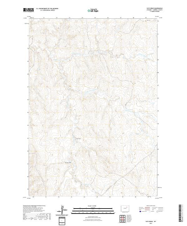
2021 Map of Fats Draw
USGS Topo · Published 2021About this map
The drainage system of Pumpkin Cr defines the landscape of this Campbell County region, where the N Prong Pumpkin Cr, Middle Prong Pumpkin Cr, and S Prong Pumpkin Cr converge. The terrain is characterized by a series of north-trending draws and narrow ridgelines typical of the Wyoming high plains. Major geographical features such as Fats Draw and Hartzog Draw illustrate the erosional patterns of the watershed, leading toward Nut Cr and the broader basin.
Find a feature on this map
15 named features on this map. Tap any name to fly to it.
Don’t see what you’re looking for? This feature index may not catch every label — zoom into the map to look around manually.
Map Details
Editions of this 2021 Fats Draw Map
This is the sole edition of this map. No revisions or reprints were ever made.
Other maps of this area

1953 · Fort Reno SE
USGS Topo · 1:24,000

1953 · Savageton
USGS Topo · 1:24,000

1953 · Fats Draw
USGS Topo · 1:24,000

1953 · The Nipple
USGS Topo · 1:24,000

1953 · North Butte
USGS Topo · 1:24,000

1954 · Gillette
USGS Topo · 1:250,000

1955 · Newcastle
USGS Topo · 1:250,000

1955 · Sheridan
USGS Topo · 1:250,000

1955 · Arminto
USGS Topo · 1:250,000

1955 · Gillette
USGS Topo · 1:250,000