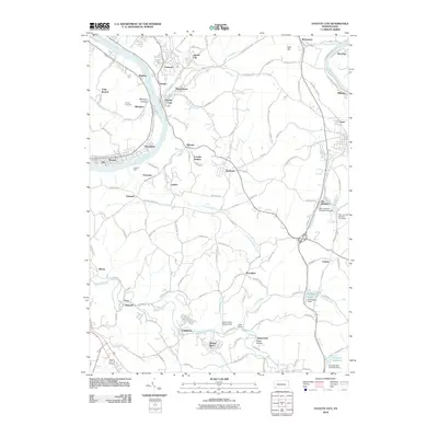
2010 Map of Fayette City
USGS Topo · Published 2010About this map
The Monongahela River and Youghiogheny River define the industrial and residential corridors of this Western Pennsylvania landscape, where early 21st-century settlements follow the winding waterways and deep hollows. The riverbank is densely populated with towns like Allenport, Fayette City, and Stockdale, while the interior plateau is marked by a network of smaller communities including Gillespie and Rowes Run. Traces of the region's industrial water management are visible in the numerous dams and reservoirs, such as Colonial Dam Number One near Grindstone and the Star Junction Number One Dam. Local history is anchored by landmarks like the Havely Cemetery and Colonial Dock, while the Youghiogheny River Trl highlights the transition of former rail corridors into modern recreational use. Small settlements like Landon Station and Allenport Hollow illustrate the rugged, creek-carved topography that has influenced the layout of homes and roads for generations.
Find a feature on this map
131 named features on this map. Tap any name to fly to it.
Don’t see what you’re looking for? This feature index may not catch every label — zoom into the map to look around manually.
Map Details
Editions of this 2010 Fayette City Map
This is the sole edition of this map. No revisions or reprints were ever made.
Other maps of this area

1900 · Uniontown
USGS Topo · 1:62,500

1900 · Masontown
USGS Topo · 1:62,500

1902 · Brownsville
USGS Topo · 1:62,500

1902 · Connellsville
USGS Topo · 1:62,500

1903 · Masontown
USGS Topo · 1:62,500

1906 · Brownsville
USGS Topo · 1:62,500

1931 · Brownsville
USGS Topo · 1:62,500

1931 · Connellsville
USGS Topo · 1:62,500

1931 · Uniontown
USGS Topo · 1:62,500

1931 · Masontown
USGS Topo · 1:62,500