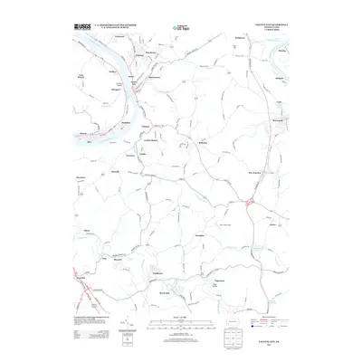
2013 Map of Fayette City
USGS Topo · Published 2013About this map
Monongahela River and Youghiogheny River define the western and northeastern corridors of this landscape, framing a dense network of Pennsylvania settlements. This 2013 survey illustrates the continued importance of the riverfront, with Colonial Dock situated near Stockdale and Roscoe. The interior is defined by numerous established communities and rail-linked locales like Landon Station, Arnold City, and Grindstone.
Find a feature on this map
159 named features on this map. Tap any name to fly to it.
Don’t see what you’re looking for? This feature index may not catch every label — zoom into the map to look around manually.
Map Details
Editions of this 2013 Fayette City Map
This is the sole edition of this map. No revisions or reprints were ever made.
Other maps of this area

1900 · Uniontown
USGS Topo · 1:62,500

1900 · Masontown
USGS Topo · 1:62,500

1902 · Brownsville
USGS Topo · 1:62,500

1902 · Connellsville
USGS Topo · 1:62,500

1903 · Masontown
USGS Topo · 1:62,500

1906 · Brownsville
USGS Topo · 1:62,500

1931 · Brownsville
USGS Topo · 1:62,500

1931 · Connellsville
USGS Topo · 1:62,500

1931 · Uniontown
USGS Topo · 1:62,500

1931 · Masontown
USGS Topo · 1:62,500