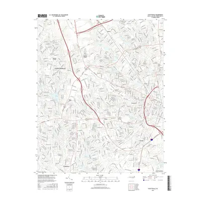
2016 Map of Fayetteville
USGS Topo · Published 2016About this map
Fayetteville and its surrounding suburban communities are depicted here in detail during a period of significant regional growth. The map illustrates a dense network of residential streets and arterial corridors like Bragg Blvd and Raeford Rd that connect central districts such as Haymount with outlying areas like Bonnie Doone and Skibo. Educational and civic anchors are prominent, including the campuses of Fayetteville State University and Fayetteville Technical Community College.
Find a feature on this map
48 named features on this map. Tap any name to fly to it.
Don’t see what you’re looking for? This feature index may not catch every label — zoom into the map to look around manually.
Map Details
Editions of this 2016 Fayetteville Map
This is the sole edition of this map. No revisions or reprints were ever made.
Other maps of this area

1948 · Fayetteville
USGS Topo · 1:62,500

1948 · Clifdale
USGS Topo · 1:62,500

1948 · Slocomb
USGS Topo · 1:24,000

1948 · Clifdale
USGS Topo · 1:24,000

1949 · Vander
USGS Topo · 1:24,000

1950 · Clifdale
USGS Topo · 1:24,000

1950 · Fayetteville
USGS Topo · 1:24,000

1950 · Manchester
USGS Topo · 1:24,000

1950 · Slocomb
USGS Topo · 1:24,000

1951 · Clifdale
USGS Topo · 1:62,500