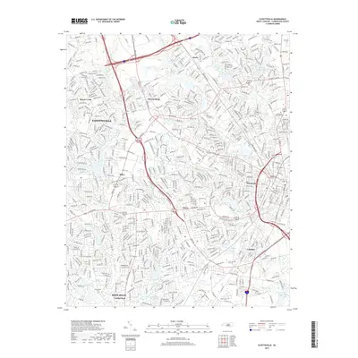
2019 Map of Fayetteville
USGS Topo · Published 2019About this map
Fayetteville and its surrounding communities in Cumberland County appear here in high detail, showcasing a landscape defined by an intricate network of suburban expansion and water features. The map highlights numerous small bodies of water that punctuate the residential areas, including Bonnie Doone Lake, Clarks Pond, and Glenville Lake. These water sources often sit at the center of named neighborhoods such as Bonnie Doone and Haymount, illustrating the late-20th-century development pattern where residential growth clustered around existing hydrography and creek beds like Little Cross Creek and Blounts Creek.
Find a feature on this map
575 named features on this map. Tap any name to fly to it.
Don’t see what you’re looking for? This feature index may not catch every label — zoom into the map to look around manually.
Map Details
Editions of this 2019 Fayetteville Map
This is the sole edition of this map. No revisions or reprints were ever made.
Other maps of this area

1948 · Fayetteville
USGS Topo · 1:62,500

1948 · Clifdale
USGS Topo · 1:62,500

1948 · Slocomb
USGS Topo · 1:24,000

1948 · Clifdale
USGS Topo · 1:24,000

1949 · Vander
USGS Topo · 1:24,000

1950 · Clifdale
USGS Topo · 1:24,000

1950 · Fayetteville
USGS Topo · 1:24,000

1950 · Manchester
USGS Topo · 1:24,000

1950 · Slocomb
USGS Topo · 1:24,000

1951 · Clifdale
USGS Topo · 1:62,500