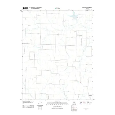
2011 Map of Fayetteville
USGS Topo · Published 2011About this map
Robbins and Hoffman anchor this rural landscape in Johnson County, where a complex network of creeks and local roads defines the region's character. The drainage patterns of Davis Creek and North Blackjack Creek are particularly prominent, including the distinct Old Channel Davis Creek which suggests historical waterway migration or engineering. The distribution of local landmarks such as Tabo Post Office provides a clear view of the area's social and administrative hubs before modern consolidation shifted regional focus.
Find a feature on this map
60 named features on this map. Tap any name to fly to it.
Don’t see what you’re looking for? This feature index may not catch every label — zoom into the map to look around manually.
Map Details
Editions of this 2011 Fayetteville Map
This is the sole edition of this map. No revisions or reprints were ever made.
Other maps of this area

1885 · Warrensburg
USGS Topo · 1:125,000

1887 · Warrensburg
USGS Topo · 1:125,000

1889 · Lexington
USGS Topo · 1:125,000

1894 · Warrensburg
USGS Topo · 1:125,000

1917 · Knobnoster
USGS Topo · 1:62,500

1947 · Jefferson City
USGS Topo · 1:250,000

1949 · Mayview
USGS Topo · 1:24,000

1949 · Odessa North
USGS Topo · 1:24,000

1950 · Mayview
USGS Topo · 1:24,000

1950 · Odessa North
USGS Topo · 1:24,000