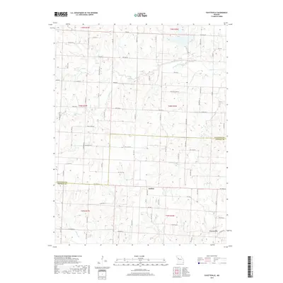
2017 Map of Fayetteville
USGS Topo · Published 2017About this map
Fayetteville and Robbins anchor the rural landscape of the Missouri countryside along the border of Lafayette and Johnson counties. This late-2010s survey reveals a landscape defined by an intricate network of watercourses, including the meandering paths of Davis Cr, Honey Cr, and Crooked Cr. The presence of the Old Channel Davis Cr suggests a history of hydrological changes and channelization, perhaps for agricultural drainage or flood control.
Find a feature on this map
34 named features on this map. Tap any name to fly to it.
Don’t see what you’re looking for? This feature index may not catch every label — zoom into the map to look around manually.
Map Details
Editions of this 2017 Fayetteville Map
This is the sole edition of this map. No revisions or reprints were ever made.
Other maps of this area

1885 · Warrensburg
USGS Topo · 1:125,000

1887 · Warrensburg
USGS Topo · 1:125,000

1889 · Lexington
USGS Topo · 1:125,000

1894 · Warrensburg
USGS Topo · 1:125,000

1917 · Knobnoster
USGS Topo · 1:62,500

1947 · Jefferson City
USGS Topo · 1:250,000

1949 · Mayview
USGS Topo · 1:24,000

1949 · Odessa North
USGS Topo · 1:24,000

1950 · Mayview
USGS Topo · 1:24,000

1950 · Odessa North
USGS Topo · 1:24,000