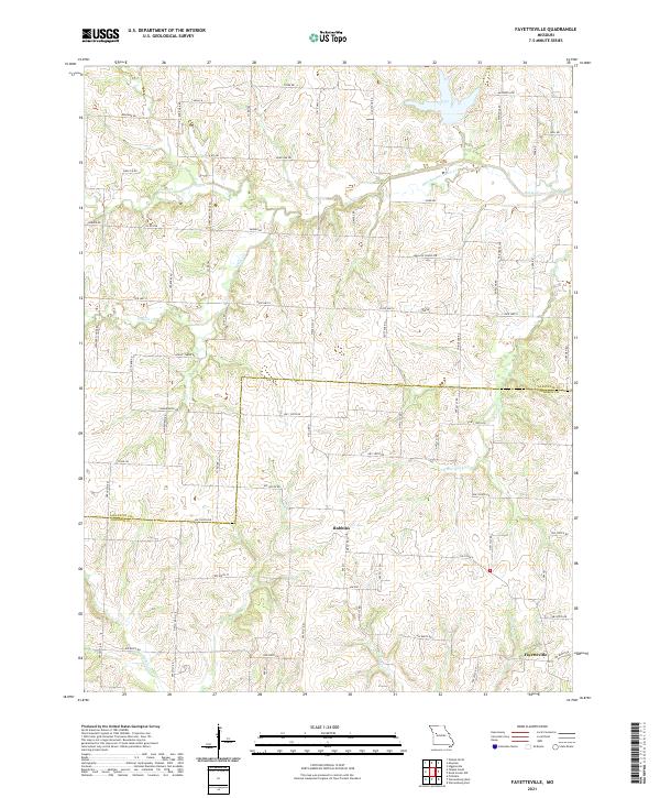
2021 Map of Fayetteville
USGS Topo · Published 2021About this map
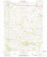
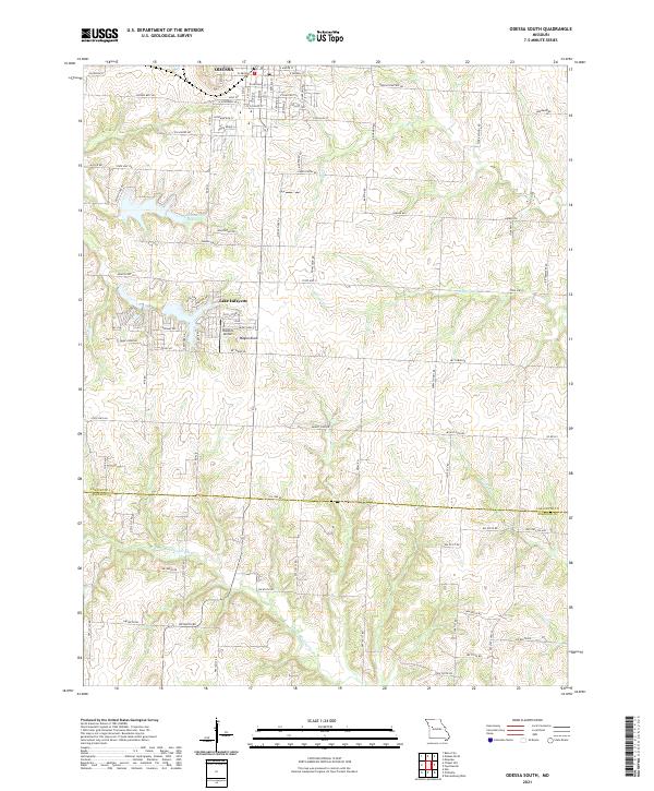
Fayetteville and the small settlement of Robbins anchor this rural landscape along the border of Lafayette and Johnson Counties. The area is defined by a dense network of watercourses, most notably the meandering Davis Cr and its bypass, the Old Channel Davis Cr. This hydrology, alongside tributaries like N Blackjack Cr and Honey Cr, historically dictated the placement of agricultural boundaries and transport routes. Several road names offer insights into former community landmarks that may no longer be standing, such as Weaver School Rd, Oakland School Rd, and Wallace Chapel Rd. The presence of Old Stage Rd suggests a deeper history of transit through this region, connecting these small farming hubs to the broader Missouri corridor.
Find a feature on this map
66 named features on this map. Tap any name to fly to it.
Don’t see what you’re looking for? This feature index may not catch every label — zoom into the map to look around manually.
Map Details
Editions of this 2021 Fayetteville Map
This is the sole edition of this map. No revisions or reprints were ever made.
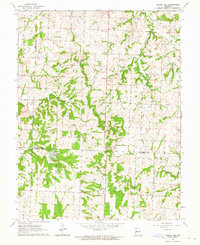
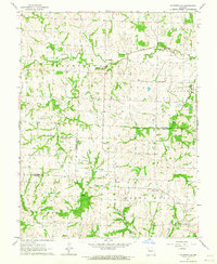
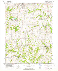
Historical Maps of Johnson County Through Time
14 maps found
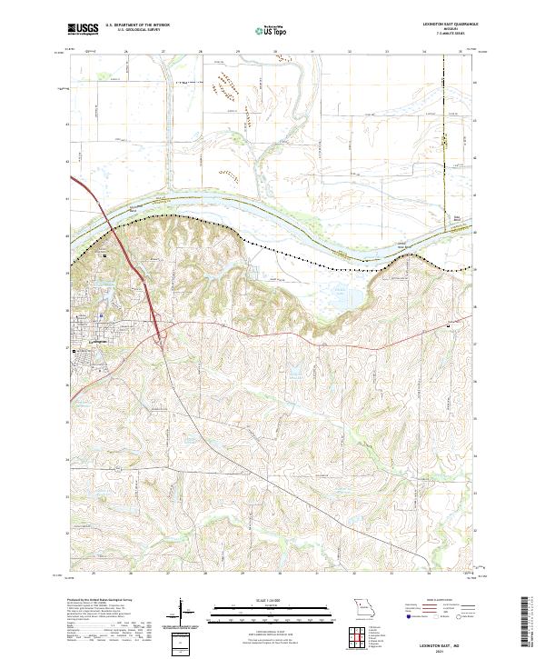
1949 Lexington East
Lafayette County, MO
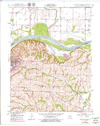
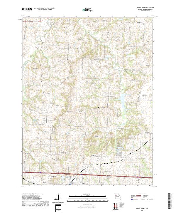
1949 Odessa North
Lafayette County, MO

1950 Lexington East
Lafayette County, MO
1950 Odessa North
Lafayette County, MO
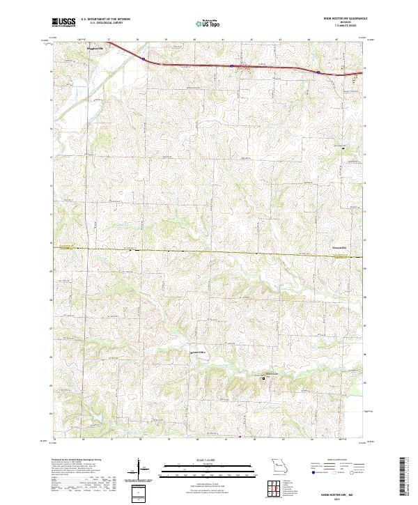
1961 Knob Noster NW
Lafayette County, MO
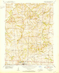
1963 Chapel Hill
Lafayette County, MO
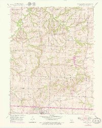
1963 Fayetteville
Lafayette County, MO
1963 Odessa South
Lafayette County, MO
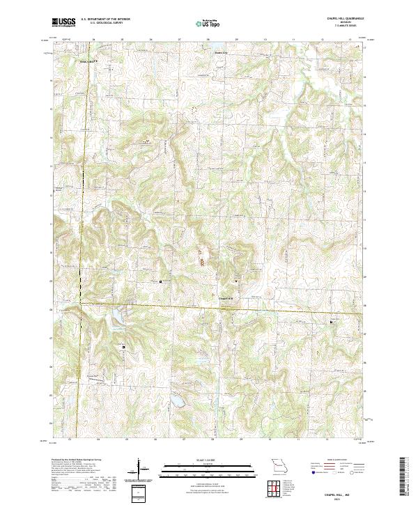
2021 Chapel Hill
Lafayette County, MO
2021 Fayetteville
Lafayette County, MO
2021 Knob Noster NW
Lafayette County, MO
2021 Lexington East
Lafayette County, MO
2021 Odessa North
Lafayette County, MO
2021 Odessa South
Lafayette County, MO