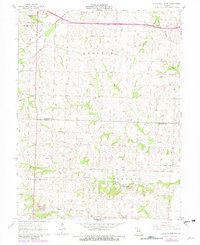
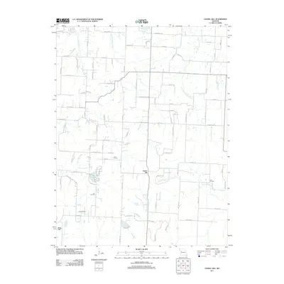
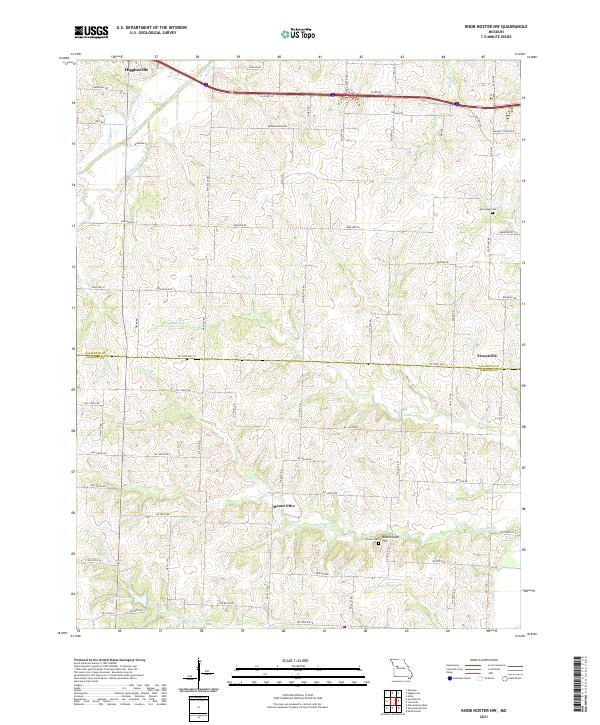
1961 Map of Knob Noster NW
USGS Topo · Published 1982About this map
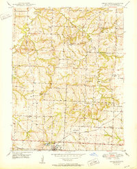
Higginsville and the surrounding farm country of Davis and Freedom townships are captured here during a period of infrastructure expansion in the early 1960s. The landscape is defined by the winding paths of Davis Creek and Mulkey Creek, which contrast with the straight-line modernization of the Missouri Pacific railroad and regional highways. Rural life is anchored by local landmarks like Zion Hill Ch and Oak Grove Ch, while industry is represented by the Rattlesnake Hill Quarry in Simpson township.
Find a feature on this map
23 named features on this map. Tap any name to fly to it.
Don’t see what you’re looking for? This feature index may not catch every label — zoom into the map to look around manually.
Map Details
Editions of this 1961 Knob Noster NW Map
2 editions found
Historical Maps of Higginsville Through Time
32 maps found
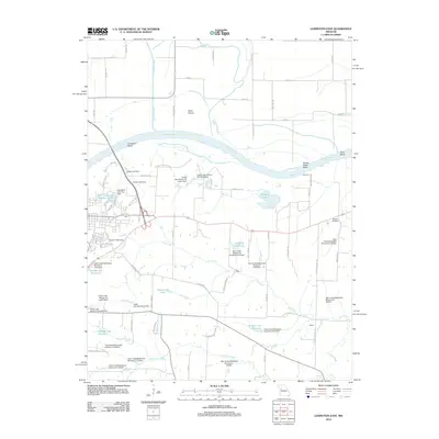
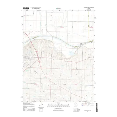
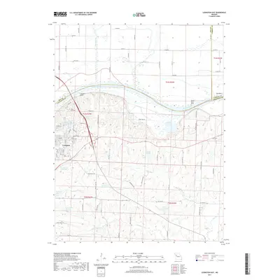
1949 Lexington East
Lafayette County, MO
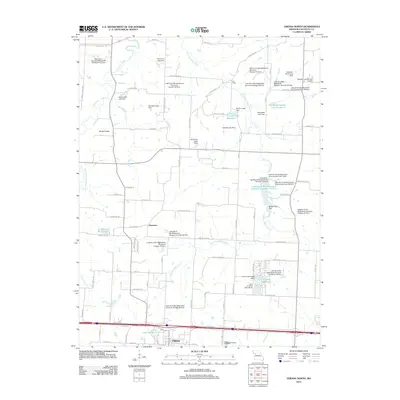
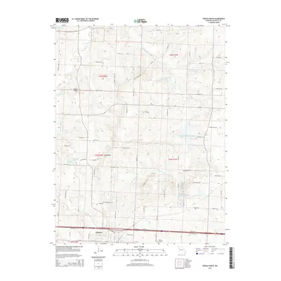
1949 Odessa North
Lafayette County, MO

1950 Lexington East
Lafayette County, MO
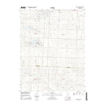
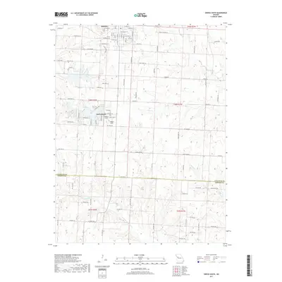
1950 Odessa North
Lafayette County, MO
1961 Knob Noster NW
Lafayette County, MO
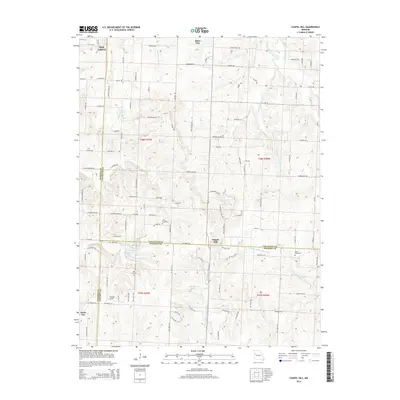
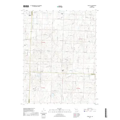
1963 Chapel Hill
Lafayette County, MO
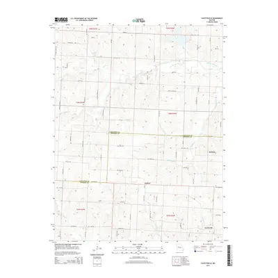
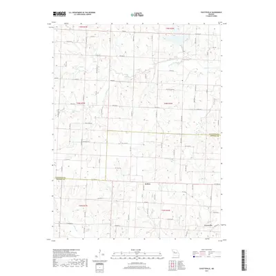
1963 Fayetteville
Lafayette County, MO
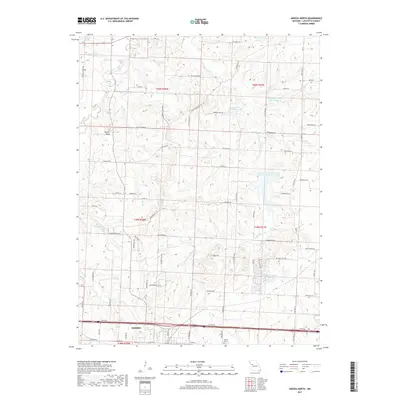
1963 Odessa South
Lafayette County, MO
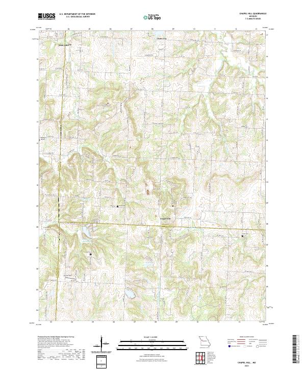
2011 Chapel Hill
Lafayette County, MO
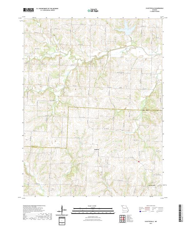
2011 Fayetteville
Lafayette County, MO
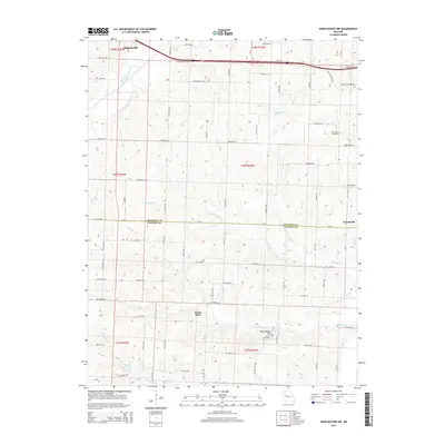
2011 Knob Noster NW
Lafayette County, MO
2011 Odessa South
Lafayette County, MO
2012 Lexington East
Lafayette County, MO
2012 Odessa North
Lafayette County, MO
2014 Chapel Hill
Lafayette County, MO
2014 Fayetteville
Lafayette County, MO
2014 Knob Noster NW
Lafayette County, MO
2014 Odessa South
Lafayette County, MO
2015 Lexington East
Lafayette County, MO
2015 Odessa North
Lafayette County, MO
2017 Chapel Hill
Lafayette County, MO
2017 Fayetteville
Lafayette County, MO

2017 Knob Noster NW
Lafayette County, MO
2017 Lexington East
Lafayette County, MO
2017 Odessa North
Lafayette County, MO
2017 Odessa South
Lafayette County, MO
2021 Chapel Hill
Lafayette County, MO
2021 Fayetteville
Lafayette County, MO
2021 Knob Noster NW
Lafayette County, MO
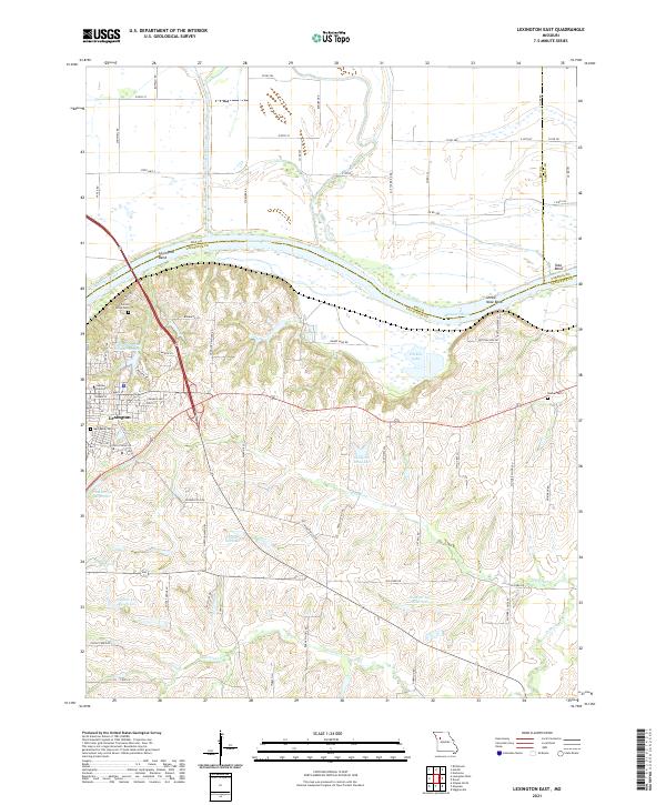
2021 Lexington East
Lafayette County, MO
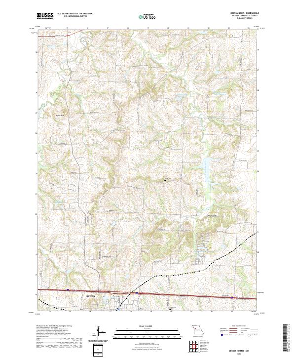
2021 Odessa North
Lafayette County, MO
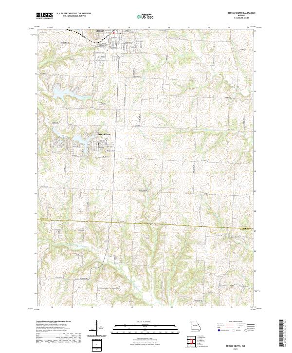
2021 Odessa South
Lafayette County, MO