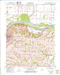
1949 Map of Lexington East
USGS Topo · Published 1979About this map
The Missouri River and the Missouri Pacific railroad define the industrial and agricultural landscape of this Missouri riverfront during the mid-20th century. At the center of the settlement, Lexington serves as a hub of education and community, anchored by the Wentworth Military Academy and the Wentworth Country Club. The map reveals a high density of rural institutions, including the Hicklin Sch, Locust Grove Sch, and Slusher Sch, reflecting a well-distributed population in the uplands south of the river. Evidence of local industry appears in the form of several Mine Dumps scattered near the Lick Fork drainage, while the bottomlands to the north are dominated by the winding course of the Crooked River. The geography transitions from these flat alluvial plains to dissected bluffs where family history is preserved at Forest Grove Cem and Slusher Cem.
Find a feature on this map
22 named features on this map. Tap any name to fly to it.
Don’t see what you’re looking for? This feature index may not catch every label — zoom into the map to look around manually.
Map Details
Editions of this 1949 Lexington East Map
3 editions found
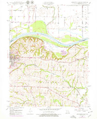
Other maps of this area

1889 · Lexington
USGS Topo · 1:125,000

1949 · Mayview
USGS Topo · 1:24,000

1949 · Lexington East
USGS Topo · 1:24,000

1949 · Lexington West
USGS Topo · 1:24,000

1949 · Odessa North
USGS Topo · 1:24,000

1950 · Lexington East
USGS Topo · 1:24,000

1950 · Mayview
USGS Topo · 1:24,000

1950 · Odessa North
USGS Topo · 1:24,000
1950 · Lexington West
USGS Topo · 1:24,000

1950 · Dover
USGS Topo · 1:24,000