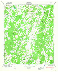
1946 Map of Felker
USGS Topo · Published 1947About this map
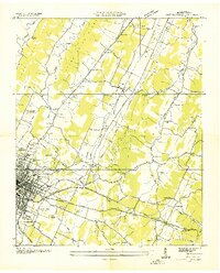
Coahulla Creek and Sugar Creek carve through this section of the Tennessee Valley, framing a landscape defined by small agrarian communities and a dense network of country congregations. In 1946, these valleys supported numerous local institutions, including Boanerges Ch and the Kinser Tabernacle in the north. The geography is physically divided by the Tennessee Valley Divide, which separates the drainages of Chestuee Creek from the westward-flowing streams.
Find a feature on this map
61 named features on this map. Tap any name to fly to it.
Don’t see what you’re looking for? This feature index may not catch every label — zoom into the map to look around manually.
Map Details
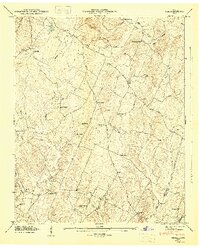
Editions of this 1946 Felker Map
2 editions found
Other maps of this area

1886 · Dalton
USGS Topo · 1:125,000

1886 · Cleveland
USGS Topo · 1:125,000

1892 · Cleveland
USGS Topo · 1:125,000

1892 · Dalton
USGS Topo · 1:125,000

1895 · Cleveland
USGS Topo · 1:125,000

1897 · Dalton
USGS Topo · 1:125,000

1901 · Cleveland
USGS Topo · 1:125,000
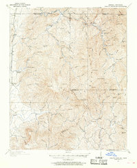
1911 · Cohutta Mtn
USGS Topo · 1:62,500
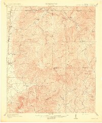
1913 · Cohutta Mtn.
USGS Topo · 1:62,500
1935 · East Cleveland
USGS Topo · 1:24,000