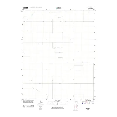
2010 Map of Felt NE
USGS Topo · Published 2010About this map
Cold Springs Creek meanders through the northwest corner of this Cimarron County landscape, providing a rare water source in the arid High Plains of the Oklahoma Panhandle. The area is defined by a rigorous sectional grid system of unpaved section-line roads, such as E0180 Rd and N0120 Rd, which facilitate access across the open ranchland and agricultural fields. This network of infrastructure, including north-south corridors like N0090 Rd and east-west routes like E0200 Rd, illustrates the persistent late-20th and early-21st-century land management patterns in one of the state's most sparsely populated regions. The geometric precision of these thoroughfares, from N0110 Rd to E0250 Rd, reflects the enduring legacy of the Public Land Survey System in organizing the Western frontier for modern agriculture.
Find a feature on this map
15 named features on this map. Tap any name to fly to it.
Don’t see what you’re looking for? This feature index may not catch every label — zoom into the map to look around manually.
Map Details
Editions of this 2010 Felt NE Map
This is the sole edition of this map. No revisions or reprints were ever made.
Other maps of this area

1954 · Dalhart
USGS Topo · 1:250,000

1958 · Dalhart
USGS Topo · 1:250,000

1962 · Dalhart
USGS Topo · 1:250,000

1969 · Felt SW
USGS Topo · 1:24,000

1969 · Boise City NW
USGS Topo · 1:24,000

1969 · Boise City SW
USGS Topo · 1:24,000

1969 · Wheeless
USGS Topo · 1:24,000

1969 · Felt
USGS Topo · 1:24,000

1969 · Felt NE
USGS Topo · 1:24,000

1969 · Kenton SE
USGS Topo · 1:24,000