Loading...
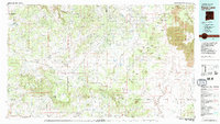
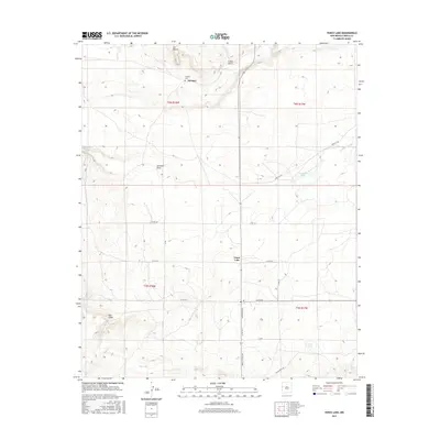
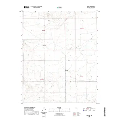
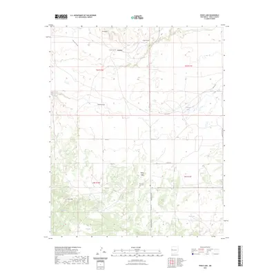
Loading map...1981 Map of Fence Lake
USGS Topo · Published 1981About this map
Zuni Indian Reservation and the Ramah Indian Area dominate this high-desert landscape in western New Mexico. The terrain is a complex network of volcanic geology and seasonal drainage, defined by the jagged lava flows of The Malpais to the east and the winding Continental Divide through the center. Small settlements like Atarque, Candy Kitchen, and Shoemaker are scattered among a vast system of draws and mesas, including Yellowrock Draw and Pinitos Draw.
Find a feature on this map
53 named features on this map. Tap any name to fly to it.
Don’t see what you’re looking for? This feature index may not catch every label — zoom into the map to look around manually.
Map Details
Date Portrayed1981
Date Published1981
PublisherU.S. Geological Survey
Map TypeTopographic
Scale1:100,000
Physical Dimensions42.6 x 24.1 inches
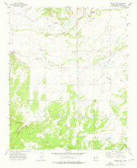
Editions of this 1981 Fence Lake Map
2 editions found

Historical Maps of Eastern Navajo Agency Through Time
7 maps found
Featured Locations
- Eastern Navajo Agency, NM
- Atarque, NM
- Ojo Caliente, NM
- Grassie Place, NM
- Pinehill, Eastern Navajo Agency
Source Details
SourceU.S. Geological Survey
CopyrightPublic Domain