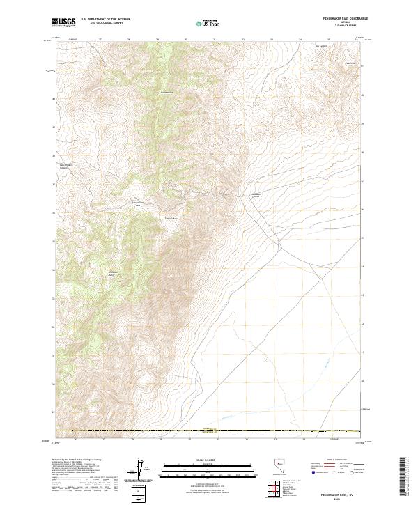
2021 Map of Fencemaker Pass
USGS Topo · Published 2021About this map
The Stillwater Range dominates this portion of the Great Basin, where dramatic elevation changes define the landscape between the Pershing Co Churchill Co line. Central to this map is Fencemaker Pass, a critical point for understanding historic movement through these mountains. The terrain is marked by numerous deep incisions such as Fencemaker Canyon and Old Man Canyon, which provide natural conduits toward the lower elevations of the Sou Hills and Gamble Basin. This modern topographic survey by the U.S. Geological Survey captures the precise drainage patterns of seasonal watercourses like Spring Cr and Sou Canyon, reflecting the arid environmental character of the region. The map preserves the exact alignment of these geographical features within the Public Land Survey System, showing the Township and Range divisions that have organized this territory since its earliest settlement.
Find a feature on this map
16 named features on this map. Tap any name to fly to it.
Don’t see what you’re looking for? This feature index may not catch every label — zoom into the map to look around manually.
Map Details
Editions of this 2021 Fencemaker Pass Map
This is the sole edition of this map. No revisions or reprints were ever made.
Other maps of this area

1932 · Sonoma Range
USGS Topo · 1:250,000

1939 · Sonoma Range
USGS Topo · 1:250,000

1955 · Millett
USGS Topo · 1:250,000

1955 · Winnemucca
USGS Topo · 1:250,000

1958 · Winnemucca
USGS Topo · 1:250,000

1959 · Millett
USGS Topo · 1:250,000

1961 · Cain Mountain
USGS Topo · 1:62,500

1961 · Fencemaker
USGS Topo · 1:62,500

1962 · Winnemucca
USGS Topo · 1:250,000

1966 · Humboldt Salt Marsh
USGS Topo · 1:62,500