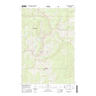
2017 Map of Fenn Mountain
USGS Topo · Published 2017About this map
Clearwater National Forest and Nez Perce National Forest converge at this high-elevation point in the Idaho backcountry, defined by the towering summit of Fenn Mountain and the jagged formation known as The Crags. The landscape is a complex network of glacial basins and steep ridges, containing an array of named alpine waters including Lizard Lakes, Elizabeth Lake, and Big Fog Lake.
Find a feature on this map
46 named features on this map. Tap any name to fly to it.
Don’t see what you’re looking for? This feature index may not catch every label — zoom into the map to look around manually.
Map Details
Editions of this 2017 Fenn Mountain Map
This is the sole edition of this map. No revisions or reprints were ever made.
Other maps of this area

1911 · Lolo
USGS Topo · 1:250,000

1913 · Lolo
USGS Topo · 1:250,000

1956 · Hamilton
USGS Topo · 1:250,000

1959 · Hamilton
USGS Topo · 1:250,000

1960 · Hamilton
USGS Topo · 1:250,000

1964 · Hamilton
USGS Topo · 1:250,000

1966 · Selway Falls
USGS Topo · 1:24,000
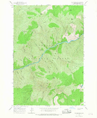
1966 · Fog Mountain
USGS Topo · 1:24,000
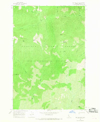
1966 · Big Rock Mtn
USGS Topo · 1:24,000
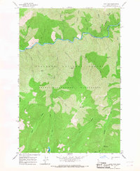
1966 · Mink Peak
USGS Topo · 1:24,000