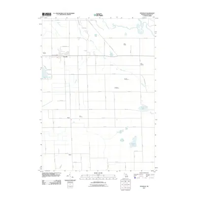
2011 Map of Fennville
USGS Topo · Published 2011About this map
Fennville serves as the primary hub of this west Michigan landscape, where the Fennville Post Office and Fennville Cemetery anchor the community amidst a network of fruit-growing country. To the south, the smaller settlements of Pearl and Bravo trace the historical path of rural development, each accompanied by local landmarks like the Pearl Cemetery. The terrain is defined by a high concentration of water bodies and marshy lowlands, including Hutchins Lake, Miner Lake, and the winding Kalamazoo River in the northeast corner.
Find a feature on this map
55 named features on this map. Tap any name to fly to it.
Don’t see what you’re looking for? This feature index may not catch every label — zoom into the map to look around manually.
Map Details
Editions of this 2011 Fennville Map
This is the sole edition of this map. No revisions or reprints were ever made.
Other maps of this area

1927 · Bangor
USGS Topo · 1:62,500

1928 · Fennville
USGS Topo · 1:62,500

1931 · Fennville
USGS Topo · 1:62,500

1931 · Bangor
USGS Topo · 1:62,500

1943 · Bangor
USGS Topo · 1:62,500

1946 · Gobles
USGS Topo · 1:62,500

1948 · Gobles
USGS Topo · 1:62,500

1949 · Gobles
USGS Topo · 1:62,500

1958 · Allegan
USGS Topo · 1:62,500

1958 · Racine
USGS Topo · 1:250,000