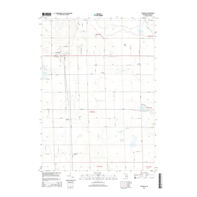
2014 Map of Fennville
USGS Topo · Published 2014About this map
The town of Fennville serves as the primary hub of this Allegan County landscape, situated along the north-south corridor of the CSX railroad. The layout reflects a mix of small-town centers and rural agriculture, with the smaller settlements of Pearl and Bravo positioned further south along the same rail line. The terrain transitions from the developed streets of W Main St and S Maple St into the distinct Pine Plains and several significant wetlands and water bodies, including Hutchins Lake on the western edge and the winding path of the Kalamazoo River in the northeast corner. This 2014 survey documents a region where local history is preserved in sites like Pearl Cem and Oak Grove Cem, while the hydrological network of Big Dailey Bayou and Mann Cr continues to define the drainage patterns of the rural townships.
Find a feature on this map
63 named features on this map. Tap any name to fly to it.
Don’t see what you’re looking for? This feature index may not catch every label — zoom into the map to look around manually.
Map Details
Editions of this 2014 Fennville Map
This is the sole edition of this map. No revisions or reprints were ever made.
Other maps of this area

1927 · Bangor
USGS Topo · 1:62,500

1928 · Fennville
USGS Topo · 1:62,500

1931 · Fennville
USGS Topo · 1:62,500

1931 · Bangor
USGS Topo · 1:62,500

1943 · Bangor
USGS Topo · 1:62,500

1946 · Gobles
USGS Topo · 1:62,500

1948 · Gobles
USGS Topo · 1:62,500

1949 · Gobles
USGS Topo · 1:62,500

1958 · Allegan
USGS Topo · 1:62,500

1958 · Racine
USGS Topo · 1:250,000