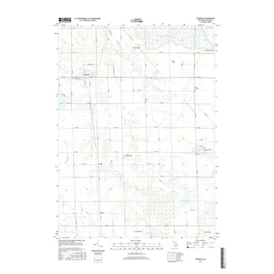
2017 Map of Fennville
USGS Topo · Published 2017About this map
Fennville serves as the primary hub of this west Michigan landscape, situated at the junction of several local thoroughfares including W Main St and E Main St. The surrounding countryside is defined by a complex network of wetlands and water bodies, most notably the winding Kalamazoo River and the expansive Ottawa Marsh in the northeast. This 2017 survey details a region where small settlements like Pearl and Bravo are linked by a grid of agricultural roads, while large tracts of open space like the Pine Plains and the Big Bailey Bayou dominate the drainage basin.
Find a feature on this map
64 named features on this map. Tap any name to fly to it.
Don’t see what you’re looking for? This feature index may not catch every label — zoom into the map to look around manually.
Map Details
Editions of this 2017 Fennville Map
This is the sole edition of this map. No revisions or reprints were ever made.
Other maps of this area

1927 · Bangor
USGS Topo · 1:62,500

1928 · Fennville
USGS Topo · 1:62,500

1931 · Fennville
USGS Topo · 1:62,500

1931 · Bangor
USGS Topo · 1:62,500

1943 · Bangor
USGS Topo · 1:62,500

1946 · Gobles
USGS Topo · 1:62,500

1948 · Gobles
USGS Topo · 1:62,500

1949 · Gobles
USGS Topo · 1:62,500

1958 · Allegan
USGS Topo · 1:62,500

1958 · Racine
USGS Topo · 1:250,000