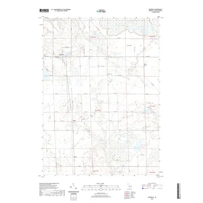
2019 Map of Fennville
USGS Topo · Published 2019About this map
Fennville serves as the primary hub in this southwestern Michigan landscape, where the grid of county roads meets the dense wetlands and lakes of the Pine Plains. The map traces a distinct transition from the established town center to the intricate hydrology of the Kalamazoo River basin, including the expansive Ottawa Marsh and Big Dailey Bayou in the northern reaches. To the south, the smaller settlements of Pearl and Bravo are situated along the rail corridor, surrounded by a high density of water bodies like Hutchins Lake, Ely Lake, and Crooked Lake. For local historians and genealogists, the map provides clear locations for several community landmarks, including the Fennville Cem, Oak Grove Cem, and Pearl Cem, which anchor the rural landscape between the orchards and woods of Allegan County.
Find a feature on this map
47 named features on this map. Tap any name to fly to it.
Don’t see what you’re looking for? This feature index may not catch every label — zoom into the map to look around manually.
Map Details
Editions of this 2019 Fennville Map
This is the sole edition of this map. No revisions or reprints were ever made.
Other maps of this area

1927 · Bangor
USGS Topo · 1:62,500

1928 · Fennville
USGS Topo · 1:62,500

1931 · Fennville
USGS Topo · 1:62,500

1931 · Bangor
USGS Topo · 1:62,500

1943 · Bangor
USGS Topo · 1:62,500

1946 · Gobles
USGS Topo · 1:62,500

1948 · Gobles
USGS Topo · 1:62,500

1949 · Gobles
USGS Topo · 1:62,500

1958 · Allegan
USGS Topo · 1:62,500

1958 · Racine
USGS Topo · 1:250,000