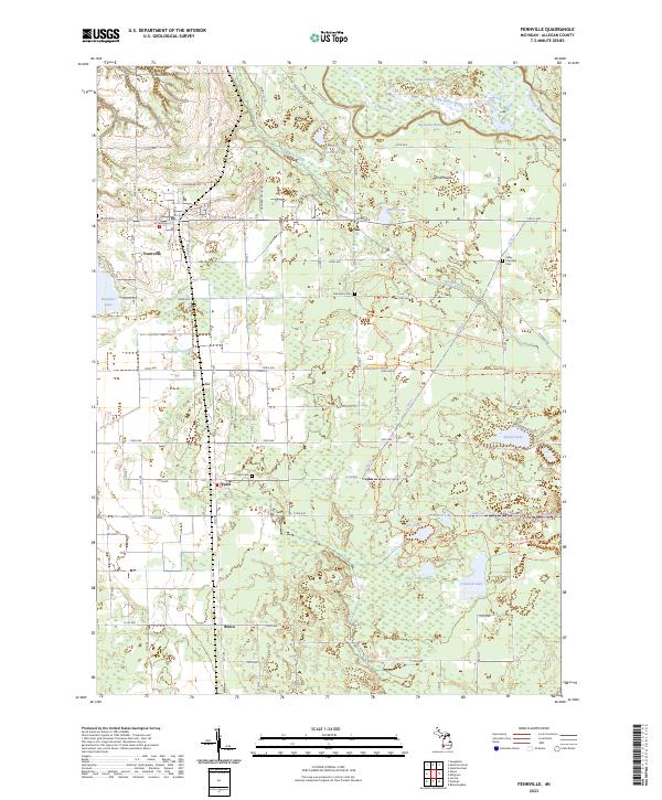
2023 Map of Fennville
USGS Topo · Published 2023About this map
Fennville sits as the primary hub in this West Michigan landscape, surrounded by the smaller settlements of Pearl and Bravo. The geography is defined by the winding course of the Kalamazoo River and the extensive Ottawa Marsh in the north, which give way to the sandy elevations of the Pine Plains. Significant portions of the eastern and southern terrain are dedicated to conservation, dominated by the Allegan State Game Area Trl and a network of waterways including Big Dailey Bayou and Mann Creek. This 2023 survey provides precise modern details for local researchers, from the positioning of the Pearl Cem and Valley Township Cem to the residential roads surrounding Hutchins Lake. The area's character is a blend of agricultural parcels and preserved wetlands, showing how modern infrastructure like 124th Ave and Lp592 Trl navigates around numerous glacial lakes such as Ely Lake and Little Tom Lake.
Find a feature on this map
39 named features on this map. Tap any name to fly to it.
Don’t see what you’re looking for? This feature index may not catch every label — zoom into the map to look around manually.
Map Details
Editions of this 2023 Fennville Map
This is the sole edition of this map. No revisions or reprints were ever made.
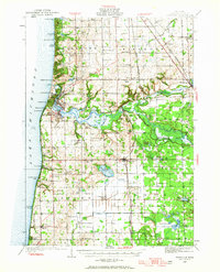
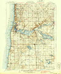
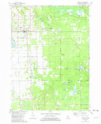
Historical Maps of Pearl Through Time
4 maps found