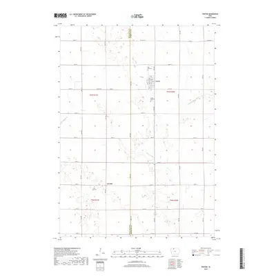
2018 Map of Fenton
USGS Topo · Published 2018About this map
Fenton serves as the primary hub of this north-central Iowa landscape, where a grid of rural roads and county highways defines the agricultural character of the region. The map captures a transition between natural waterways and engineered drainage, with the meandering course of Lotts Cr and Black Cat Cr contrasted by the straight lines of Ditch Number 1. This area, split by the Palo Alto Co Kossuth Co boundary, reflects a century of land management and settlement. Genealogists will find several burial sites preserved across the townships, including Saint Johns Cem and the United Methodist Cem near the town center, as well as Saint Lukes Cem further south near the small settlement of Fairville. The detailed road network, from Co Hwy B14 to local routes like 580th Ave, illustrates the connectivity of this prairie farming community.
Find a feature on this map
40 named features on this map. Tap any name to fly to it.
Don’t see what you’re looking for? This feature index may not catch every label — zoom into the map to look around manually.
Map Details
Editions of this 2018 Fenton Map
This is the sole edition of this map. No revisions or reprints were ever made.
Other maps of this area

1954 · Fairmont
USGS Topo · 1:250,000

1958 · Fairmont
USGS Topo · 1:250,000

1980 · Lone Rock
USGS Topo · 1:24,000

1980 · Fenton
USGS Topo · 1:24,000

1980 · Depew
USGS Topo · 1:24,000

1980 · Seneca
USGS Topo · 1:24,000

1980 · Ringsted
USGS Topo · 1:24,000

1980 · Armstrong SE
USGS Topo · 1:24,000

1980 · Hobarton
USGS Topo · 1:24,000
1980 · Whittemore
USGS Topo · 1:24,000