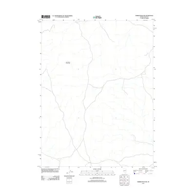
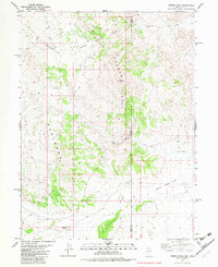
2012 Map of Ferber Peak NW
USGS Topo · Published 2012About this map
Little White Horse Hills dominates the western landscape of this Elko County region, providing a significant topographic anchor for the surrounding high desert. This 2012 U.S. Geological Survey study documents the drainage patterns through Ferber Wash, where seasonal water courses shape the eastern portion of the quadrangle. The map is defined by its network of local and 4WD roads that navigate the arid terrain, illustrating the modern access routes into this corner of Nevada. While the area remains largely undeveloped, the precise mapping of these few named landmarks and the winding path of Ferber Wash offers critical context for understanding the hydrology and land use in this specific section of the Great Basin.
Find a feature on this map
2 named features on this map. Tap any name to fly to it.
Don’t see what you’re looking for? This feature index may not catch every label — zoom into the map to look around manually.
Map Details
Editions of this 2012 Ferber Peak NW Map
This is the sole edition of this map. No revisions or reprints were ever made.
Other maps of this area

1955 · Elko
USGS Topo · 1:250,000

1958 · Elko
USGS Topo · 1:250,000

1962 · Elko
USGS Topo · 1:250,000

1965 · Elko
USGS Topo · 1:250,000

1972 · White Horse Pass
USGS Topo · 1:24,000

1972 · Utah Peak
USGS Topo · 1:24,000
1982 · Kinsley Mountains
USGS Topo · 1:24,000
1982 · Ayarbe Spring
USGS Topo · 1:24,000
1982 · Ferber Peak NW
USGS Topo · 1:24,000
1982 · Ferber Peak
USGS Topo · 1:24,000