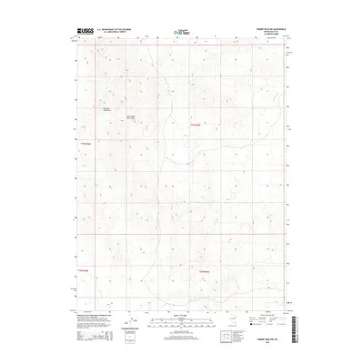
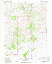
2015 Map of Ferber Peak NW
USGS Topo · Published 2015About this map
The Goshute Mountains and Little White Horse Hills dominate this high-desert landscape in eastern Elko County. This 2015 U.S. Geological Survey representation reveals a terrain defined by complex elevation contours and drainage patterns, most notably Ferber Wash in the northeastern corner. The map documents the Public Land Survey System grid across four townships, including t27n r68e and t27n r69e, providing a precise record of section boundaries used for land claims and resource management. This is a characteristic Great Basin environment where the lack of permanent settlements emphasizes the natural landforms and the established surveyed boundaries of the Nevada interior.
Find a feature on this map
7 named features on this map. Tap any name to fly to it.
Don’t see what you’re looking for? This feature index may not catch every label — zoom into the map to look around manually.
Map Details
Editions of this 2015 Ferber Peak NW Map
This is the sole edition of this map. No revisions or reprints were ever made.
Other maps of this area

1955 · Elko
USGS Topo · 1:250,000

1958 · Elko
USGS Topo · 1:250,000

1962 · Elko
USGS Topo · 1:250,000

1965 · Elko
USGS Topo · 1:250,000

1972 · White Horse Pass
USGS Topo · 1:24,000

1972 · Utah Peak
USGS Topo · 1:24,000
1982 · Kinsley Mountains
USGS Topo · 1:24,000
1982 · Ayarbe Spring
USGS Topo · 1:24,000
1982 · Ferber Peak NW
USGS Topo · 1:24,000
1982 · Ferber Peak
USGS Topo · 1:24,000