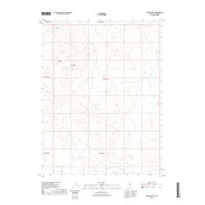
2018 Map of Ferber Peak NW
USGS Topo · Published 2018About this map
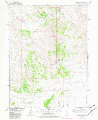
Goshute Mountains and the lower-lying Little White Horse Hills dominate this high-desert landscape in northeastern Nevada. Recorded in 2018, the map illustrates the complex topography of the Great Basin, where dramatic vertical relief defines the local environment. The absence of modern development is a primary characteristic of this area, as much of the land remains divided by the Public Land Survey System into townships such as t27n r69e and t28n r68e. The only significant water feature noted is Ferber Wash, which drains toward the northeast, indicating the intermittent drainage patterns typical of this arid region. This survey is a precise record of undeveloped Elko County land, showing only the fundamental natural landmarks and the grid system used for land management.
Find a feature on this map
9 named features on this map. Tap any name to fly to it.
Don’t see what you’re looking for? This feature index may not catch every label — zoom into the map to look around manually.
Map Details
Editions of this 2018 Ferber Peak NW Map
This is the sole edition of this map. No revisions or reprints were ever made.
Other maps of this area

1955 · Elko
USGS Topo · 1:250,000

1958 · Elko
USGS Topo · 1:250,000

1962 · Elko
USGS Topo · 1:250,000

1965 · Elko
USGS Topo · 1:250,000

1972 · White Horse Pass
USGS Topo · 1:24,000

1972 · Utah Peak
USGS Topo · 1:24,000
1982 · Kinsley Mountains
USGS Topo · 1:24,000
1982 · Ayarbe Spring
USGS Topo · 1:24,000
1982 · Ferber Peak NW
USGS Topo · 1:24,000
1982 · Ferber Peak
USGS Topo · 1:24,000