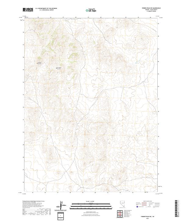
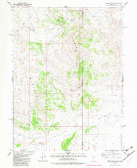
2021 Map of Ferber Peak NW
USGS Topo · Published 2021About this map
Goshute Mountains rise along the western edge of this high-desert landscape in Elko County, defining a topography characterized by dramatic elevation changes. This region is marked by the Little White Horse Hills, which occupy the central portion of the survey area, creating a complex series of ridges and valleys that transition toward the eastern drainage systems. The presence of Ferber Wash in the northeast indicates the seasonal water patterns that have historically shaped movement and settlement through this arid corridor. The absence of modern roads or dense infrastructure underscores the continuity of this landscape, which has remained largely undeveloped and focused on grazing and natural resource management throughout the late twentieth and early twenty-first centuries.
Find a feature on this map
10 named features on this map. Tap any name to fly to it.
Don’t see what you’re looking for? This feature index may not catch every label — zoom into the map to look around manually.
Map Details
Editions of this 2021 Ferber Peak NW Map
This is the sole edition of this map. No revisions or reprints were ever made.
Other maps of this area

1955 · Elko
USGS Topo · 1:250,000

1958 · Elko
USGS Topo · 1:250,000

1962 · Elko
USGS Topo · 1:250,000

1965 · Elko
USGS Topo · 1:250,000

1972 · White Horse Pass
USGS Topo · 1:24,000

1972 · Utah Peak
USGS Topo · 1:24,000
1982 · Kinsley Mountains
USGS Topo · 1:24,000
1982 · Ayarbe Spring
USGS Topo · 1:24,000
1982 · Ferber Peak NW
USGS Topo · 1:24,000
1982 · Ferber Peak
USGS Topo · 1:24,000