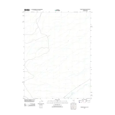
2012 Map of Ferber Peak SE
USGS Topo · Published 2012About this map
W Deep Cr winds through the southeastern corner of this Tooele County landscape, which was documented by the U.S. Geological Survey in the early 21st century. The terrain is defined by a complex network of intermittent drainage channels that cross a largely undeveloped expanse along the Nevada-Utah border. Human activity in this desert environment is primarily indicated by Willow Rd, which cuts diagonally across the southern portion of the sheet. This map captures the area as it appeared before more modern developments, showing the primitive road networks and natural watercourses that have historically shaped navigation through this high-altitude basin.
Find a feature on this map
2 named features on this map. Tap any name to fly to it.
Don’t see what you’re looking for? This feature index may not catch every label — zoom into the map to look around manually.
Map Details
Editions of this 2012 Ferber Peak SE Map
This is the sole edition of this map. No revisions or reprints were ever made.
Other maps of this area

1908 · Fish Springs
USGS Topo · 1:250,000

1910 · Fish Springs
USGS Topo · 1:250,000

1925 · Gold Hill
USGS Topo · 1:62,500

1928 · Gold Hill
USGS Topo · 1:62,500

1953 · Tooele
USGS Topo · 1:250,000

1953 · Delta
USGS Topo · 1:250,000

1955 · Tooele
USGS Topo · 1:250,000

1955 · Elko
USGS Topo · 1:250,000

1956 · Ely
USGS Topo · 1:250,000

1958 · Elko
USGS Topo · 1:250,000