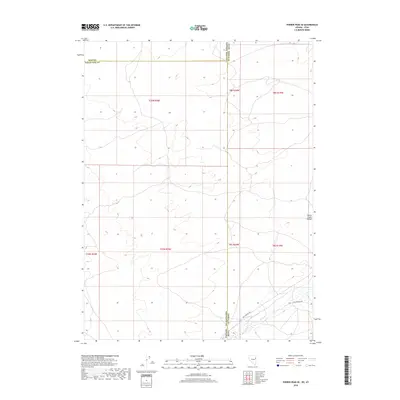
2018 Map of Ferber Peak SE
USGS Topo · Published 2018About this map
The high desert borderlands between Utah and Nevada are defined by the convergence of several historic transportation corridors in this 2018 survey. The Pony Express Rd and the Old Lincoln Hwy both cut through the southeastern corner of the quadrangle, following the path of least resistance through the arid terrain near W Deep Cr. These routes represent different eras of cross-country transit, from the mid-19th-century mail service to the early 20th-century automotive age. To the east, the foothills of the Cherry Creek Range rise above the basin floor. The map highlights the administrative complexity of this remote region, where the boundaries of Elko, White Pine, and Tooele counties meet along the interstate line.
Find a feature on this map
14 named features on this map. Tap any name to fly to it.
Don’t see what you’re looking for? This feature index may not catch every label — zoom into the map to look around manually.
Map Details
Editions of this 2018 Ferber Peak SE Map
This is the sole edition of this map. No revisions or reprints were ever made.
Other maps of this area

1908 · Fish Springs
USGS Topo · 1:250,000

1910 · Fish Springs
USGS Topo · 1:250,000

1925 · Gold Hill
USGS Topo · 1:62,500

1928 · Gold Hill
USGS Topo · 1:62,500

1953 · Tooele
USGS Topo · 1:250,000

1953 · Delta
USGS Topo · 1:250,000

1955 · Tooele
USGS Topo · 1:250,000

1955 · Elko
USGS Topo · 1:250,000

1956 · Ely
USGS Topo · 1:250,000

1958 · Elko
USGS Topo · 1:250,000