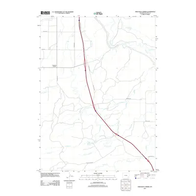
2012 Map of Ferguson Corner
USGS Topo · Published 2012About this map
Ferguson Corner serves as the focal point for this rural Platte County landscape, where the agricultural economy of southeastern Wyoming is etched into the terrain through a network of irrigation works. The vital movement of water across this high plains environment is managed by features such as the Bordeaux Canal, Highline Ditch, and Canal Number 1. These systems feed local landmarks including the Chug Springs Reservoir and Bagley Brothers Reservoir, which support ranching and farming operations in the region.
Find a feature on this map
24 named features on this map. Tap any name to fly to it.
Don’t see what you’re looking for? This feature index may not catch every label — zoom into the map to look around manually.
Map Details
Editions of this 2012 Ferguson Corner Map
This is the sole edition of this map. No revisions or reprints were ever made.
Other maps of this area
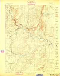
1896 · Hartville
USGS Topo · 1:125,000
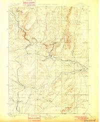
1901 · Hartville
USGS Topo · 1:125,000
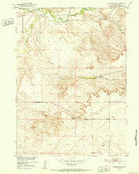
1951 · Antelope Gap
USGS Topo · 1:24,000
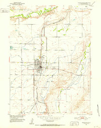
1951 · Wheatland
USGS Topo · 1:24,000
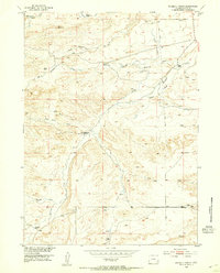
1953 · Double L Ranch
USGS Topo · 1:24,000
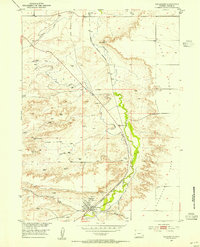
1953 · Chugwater
USGS Topo · 1:24,000
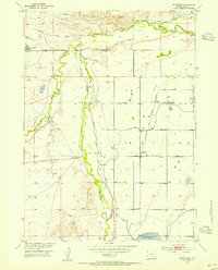
1953 · Hightower
USGS Topo · 1:24,000
1953 · Natwick
USGS Topo · 1:24,000
1953 · Ferguson Corner
USGS Topo · 1:24,000
1953 · Bordeaux
USGS Topo · 1:24,000