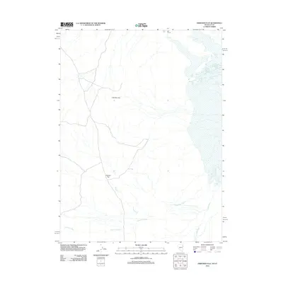
2012 Map of Ferguson Flat
USGS Topo · Published 2012About this map
Ferguson Flat anchors this high-desert landscape on the Nevada-Utah border, situated west of the Goshute Valley. The terrain is defined by dry drainage systems and scattered water sources essential to the region's history, such as Salt Springs in the northeast and the seasonal Ferguson Cr. Just north of the flat, the Lead Mine Hills rise as a prominent geographic landmark, their name pointing to the area's prospecting and mineral history. The map detail highlights the complex network of ephemeral watercourses including Dead Cedar Wash and Ferber Wash, which shape the alluvial fans and drainage patterns that characterize this arid stretch of Tooele County. This 2012 study documents the sparse but vital landmarks used for navigation and land management in the Great Basin.
Find a feature on this map
6 named features on this map. Tap any name to fly to it.
Don’t see what you’re looking for? This feature index may not catch every label — zoom into the map to look around manually.
Map Details
Editions of this 2012 Ferguson Flat Map
This is the sole edition of this map. No revisions or reprints were ever made.
Other maps of this area

1953 · Tooele
USGS Topo · 1:250,000

1955 · Tooele
USGS Topo · 1:250,000

1955 · Elko
USGS Topo · 1:250,000

1958 · Elko
USGS Topo · 1:250,000

1962 · Elko
USGS Topo · 1:250,000

1965 · Elko
USGS Topo · 1:250,000

1972 · Ferguson Flat
USGS Topo · 1:24,000

1972 · White Horse Pass
USGS Topo · 1:24,000

1972 · Utah Peak
USGS Topo · 1:24,000

1972 · Ferguson Mtn.
USGS Topo · 1:24,000