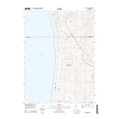
2015 Map of Fern Canyon
USGS Topo · Published 2015About this map
Redwood National Park dominates this coastal landscape, where the Santa Cruz Mountains meet the Pacific Ocean along the northern California coastline. The survey highlights a rugged maritime environment defined by steep drainage systems like Prairie Creek and Waukell Creek which carve through the dense forests toward the shore. A significant geologic and recreational landmark, Fern Canyon is documented just inland from Gold Bluffs Beach, illustrating the unique intersection of coastal bluffs and narrow, vertical-walled canyons. This 2015 update provides a detailed view of the administrative and natural boundaries of the era, including the line between Del Norte and Humboldt counties. Transport through this protected wilderness is traced along primitive routes such as Alder Camp Road and the Coastal Drive, which offer access to the high ridges and coastal vistas away from the modern highway corridor.
Find a feature on this map
27 named features on this map. Tap any name to fly to it.
Don’t see what you’re looking for? This feature index may not catch every label — zoom into the map to look around manually.
Map Details
Editions of this 2015 Fern Canyon Map
This is the sole edition of this map. No revisions or reprints were ever made.
Other maps of this area

1922 · Preston Peak
USGS Topo · 1:125,000

1925 · Hoopa
USGS Topo · 1:125,000

1929 · Crescent City
USGS Topo · 1:125,000

1945 · Ship Mountain
USGS Topo · 1:62,500

1945 · Orick
USGS Topo · 1:62,500

1945 · Requa
USGS Topo · 1:62,500

1945 · Tectah Creek
USGS Topo · 1:62,500

1948 · Weed
USGS Topo · 1:250,000

1949 · Eureka
USGS Topo · 1:250,000

1950 · Weed
USGS Topo · 1:250,000