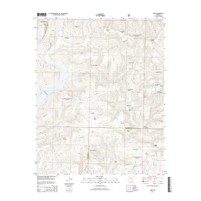
2014 Map of Fern
USGS Topo · Published 2014About this map
Ozark National Forest dominates this section of the Arkansas highlands, where steep ridges and deep hollows define the local geography. The settlement patterns follow the winding creek beds and mountain passes, with small communities like Locke and Fern situated near significant water sources and drainage systems. The map detail reflects a landscape of dramatic elevation changes, notably at The Narrows and the extensive Devils Canyon.
Find a feature on this map
63 named features on this map. Tap any name to fly to it.
Don’t see what you’re looking for? This feature index may not catch every label — zoom into the map to look around manually.
Map Details
Editions of this 2014 Fern Map
This is the sole edition of this map. No revisions or reprints were ever made.
Other maps of this area

1879 · Cravens
USGS Topo · 1:62,500

1887 · Watalula
USGS Topo · 1:62,500

1898 · Winslow #4
USGS Topo · 1:62,500

1898 · Winslow
USGS Topo · 1:125,000

1901 · Winslow
USGS Topo · 1:125,000

1939 · Watalula
USGS Topo · 1:62,500

1943 · St. Paul
USGS Topo · 1:62,500

1946 · St. Paul
USGS Topo · 1:62,500

1946 · Fort Smith
USGS Topo · 1:250,000

1956 · Russellville
USGS Topo · 1:250,000