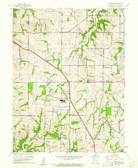
1961 Map of Ferrelview
USGS Topo · Published 1962About this map
Mid-Continent International Airport dominates the central landscape of this Platte County region, reflecting an era of significant infrastructure expansion just north of the Kansas City City Boundary. The 1961 revision documents a transition from rural farmsteads to suburban development, evidenced by the emerging residential pockets of Platte Gardens and Ferrelview. Despite this modernization, the map preserves the original character of long-standing rural communities like Linkville, Hoover, and Hampton.
Find a feature on this map
35 named features on this map. Tap any name to fly to it.
Don’t see what you’re looking for? This feature index may not catch every label — zoom into the map to look around manually.
Map Details
Editions of this 1961 Ferrelview Map
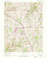
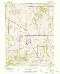
3 editions found
Other maps of this area

1890 · Kansas City
USGS Topo · 1:125,000

1894 · Kansas City
USGS Topo · 1:125,000
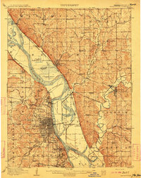
1910 · Leavenworth
USGS Topo · 1:62,500
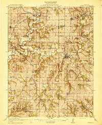
1914 · Smithville
USGS Topo · 1:62,500
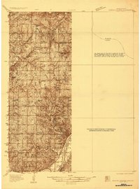
1934 · Bonner Springs
USGS Topo · 1:48,000
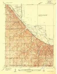
1934 · Wolcott
USGS Topo · 1:24,000
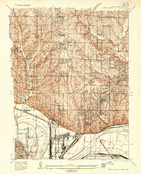
1935 · North Kansas City
USGS Topo · 1:24,000
1940 · Bonner Springs
USGS Topo · 1:62,500
1940 · North Kansas City
USGS Topo · 1:31,680
1943 · Quindaro
USGS Topo · 1:31,680