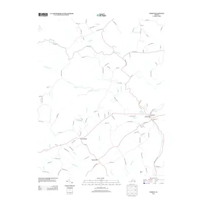
2013 Map of Ferrum
USGS Topo · Published 2013About this map
Ferrum anchors this 2013 topograhic study of the Franklin County landscape, situated at the eastern edge of a terrain defined by the winding headwaters of the Pigg River. The settlement pattern reflects a deeply rooted rural infrastructure, where small community centers like Ingramville, Cross Roads, and Brown Hill are connected by a network of ridges and river valleys. The topography is intricately carved by numerous tributaries including Nicholas Cr, Story Cr, and Beards Cr, which feed the larger drainage system of the S Prong Pigg River.
Find a feature on this map
99 named features on this map. Tap any name to fly to it.
Don’t see what you’re looking for? This feature index may not catch every label — zoom into the map to look around manually.
Map Details
Editions of this 2013 Ferrum Map
This is the sole edition of this map. No revisions or reprints were ever made.
Other maps of this area

1890 · Roanoke
USGS Topo · 1:125,000

1890 · Christiansburg
USGS Topo · 1:125,000

1891 · Roanoke
USGS Topo · 1:125,000

1925 · Rocky Mount
USGS Topo · 1:48,000

1927 · Rocky Mount
USGS Topo · 1:62,500

1944 · Rocky Mount
USGS Topo · 1:62,500

1947 · Roanoke
USGS Topo · 1:250,000

1950 · Elliston
USGS Topo · 1:62,500

1951 · Boones Mill
USGS Topo · 1:62,500

1953 · Winston-Salem
USGS Topo · 1:250,000