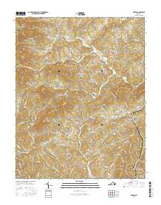
2016 Map of Ferrum
USGS Topo · Published 2016About this map
Ferrum serves as a primary hub for this portion of Franklin County, anchored by the presence of Ferrum College and its Blue Ridge Institute. The landscape is defined by the winding course of the Pigg River and the South Prong Pigg River, which cut through a terrain marked by prominent elevations like Fivemile Mountain and Beech Mountain. This area is dense with family history, evidenced by an extensive network of small burial grounds including the Guilliams Cemetery, Webb-Hale Cemetery, and Meadors-James Cemetery.
Find a feature on this map
130 named features on this map. Tap any name to fly to it.
Don’t see what you’re looking for? This feature index may not catch every label — zoom into the map to look around manually.
Map Details
Editions of this 2016 Ferrum Map
This is the sole edition of this map. No revisions or reprints were ever made.
Other maps of this area

1890 · Roanoke
USGS Topo · 1:125,000

1890 · Christiansburg
USGS Topo · 1:125,000

1891 · Roanoke
USGS Topo · 1:125,000

1925 · Rocky Mount
USGS Topo · 1:48,000

1927 · Rocky Mount
USGS Topo · 1:62,500

1944 · Rocky Mount
USGS Topo · 1:62,500

1947 · Roanoke
USGS Topo · 1:250,000

1950 · Elliston
USGS Topo · 1:62,500

1951 · Boones Mill
USGS Topo · 1:62,500

1953 · Winston-Salem
USGS Topo · 1:250,000