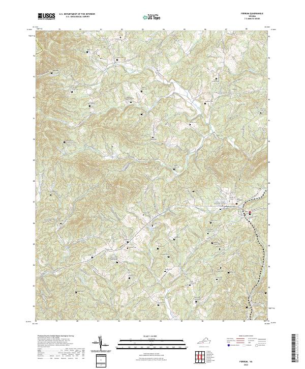
2022 Map of Ferrum
USGS Topo · Published 2022About this map
Ferrum College and its Blue Ridge Institute anchor this high-relief landscape where the headwaters of the Pigg River and its South Prong carve deep valleys through the foothills. The 2022 survey reveals a complex network of ridge-top and valley-floor roads, such as Five Mile Mountain Rd and Ferrum Mountain Rd, connecting dozens of family burial grounds and community landmarks.
Find a feature on this map
126 named features on this map. Tap any name to fly to it.
Don’t see what you’re looking for? This feature index may not catch every label — zoom into the map to look around manually.
Map Details
Editions of this 2022 Ferrum Map
This is the sole edition of this map. No revisions or reprints were ever made.
Other maps of this area

1890 · Roanoke
USGS Topo · 1:125,000

1890 · Christiansburg
USGS Topo · 1:125,000

1891 · Roanoke
USGS Topo · 1:125,000

1925 · Rocky Mount
USGS Topo · 1:48,000

1927 · Rocky Mount
USGS Topo · 1:62,500

1944 · Rocky Mount
USGS Topo · 1:62,500

1947 · Roanoke
USGS Topo · 1:250,000

1950 · Elliston
USGS Topo · 1:62,500

1951 · Boones Mill
USGS Topo · 1:62,500

1953 · Winston-Salem
USGS Topo · 1:250,000