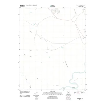
2011 Map of Ferry Swale
USGS Topo · Published 2011About this map
Glen Canyon National Rec Area defines the high desert landscape of this survey, where the Colorado River snakes through the southern reaches of the quadrangle. The map captures a transition from water-scarce plateaus to the deep carved canyons of the Southwest. Crucial water sources for land management and ranching are documented through several named catchments, including Ferry Swale Tank, Wildcat Tank, and Hackberry Tank.
Find a feature on this map
19 named features on this map. Tap any name to fly to it.
Don’t see what you’re looking for? This feature index may not catch every label — zoom into the map to look around manually.
Map Details
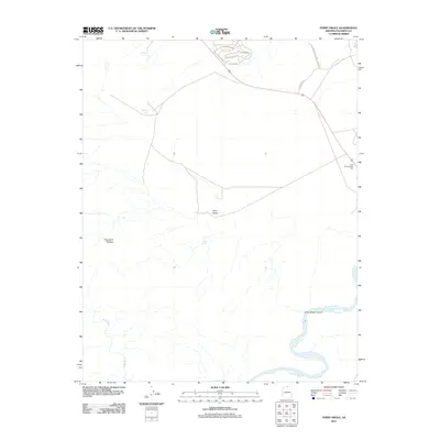
Editions of this 2011 Ferry Swale Map
2 editions found
Other maps of this area
1886 · Escalante
USGS Topo · 1:250,000
1886 · Echo Cliffs
USGS Topo · 1:250,000
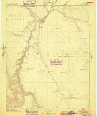
1891 · Echo Cliffs
USGS Topo · 1:250,000
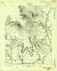
1922 · Warm Creek
USGS Topo · 1:63,360
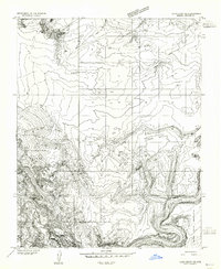
1951 · Lees Ferry NE
USGS Topo · 1:24,000
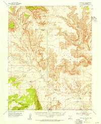
1953 · Nipple Butte
USGS Topo · 1:62,500
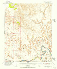
1953 · Gunsight Butte
USGS Topo · 1:62,500
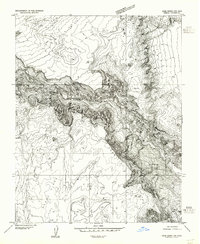
1954 · Lees Ferry NW
USGS Topo · 1:24,000
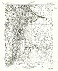
1954 · Lees Ferry SE
USGS Topo · 1:24,000
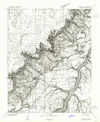
1954 · Lees Ferry SW
USGS Topo · 1:24,000